New_serbia_slavo_serbia.png

Size of this preview:
800 × 550 pixels
.
Other resolutions:
320 × 220 pixels
|
640 × 440 pixels
|
1,024 × 703 pixels
|
1,121 × 770 pixels
.
Summary
| Description |
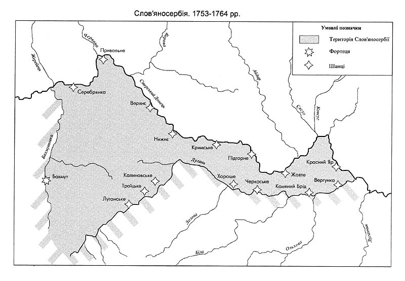
English:
Map of the location of historical
en:New Serbia
(1752-1764) and
en:Slavo-Serbia
(1753-1764) and comparison with the location of modern provinces of Ukraine.
Српски / srpski:
Mapa položaja Nove Srbije (1752-1764) i Slavenosrbije (1753-1764) i poređenje sa položajem današnjih pokrajina Ukrajine.
Deutsch:
Lage von Neuserbien (1752-1764) und Slawenoserbien (1753-1764) in der heutigen Ukraine.
|
| Date | 27 June 2006 (original upload date) |
| Source | Transferred from en.wikipedia to Commons. |
| Author | Original uploader and author was PANONIAN at en.wikipedia |
Licensing
self made map by user:PANONIAN
|
|
This work has been released into the
public domain
by its author,
PANONIAN
at
English Wikipedia
. This applies worldwide.
In some countries this may not be legally possible; if so: PANONIAN grants anyone the right to use this work for any purpose , without any conditions, unless such conditions are required by law. |
References
- Mita Kostić, Nova Srbija i Slavenosrbija, Novi Sad, 2001.
- Olga M. Posunjko, Istorija Nove Srbije i Slavenosrbije, Novi Sad, 2002.
- Pavel Rudjakov, Seoba Srba u Rusiju u 18. veku, Beograd, 1995.
- http://www.rastko.rs/rastko-ukr/istorija/img/nova_serbija.jpg
- http://www.rastko.rs/rastko-ukr/istorija/img/sloveno_serbija.jpg
- http://www.irekw.internetdsl.pl/27_1727-1768.jpg archive copy at the Wayback Machine
- http://www.jewishgen.org/Ukraine/maps/Ukrainian-Land-1750.jpg
Original upload log
The original description page was
here
. All following user names refer to en.wikipedia.
- 2006-06-27 17:49 PANONIAN 1251×791×8 (149688 bytes)