Nasinneula_nakyma_1.jpg

Size of this preview:
800 × 600 pixels
.
Other resolutions:
320 × 240 pixels
|
640 × 480 pixels
|
1,024 × 768 pixels
|
1,280 × 960 pixels
|
1,600 × 1,200 pixels
.
Summary
| Description |
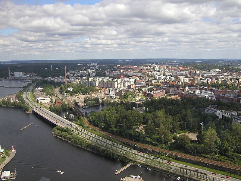
English:
Tampere from the Näsinneula observation tower (168 metres high)
Suomi:
Näkymä Tampereen
Näsinneulasta
itään päin. Etualalla valtatie 12 (Kekkosentie) ja Tampereelta pohjoiseen lähtevä rautatie, keskellä Tammerkoski ja vanha teollisuusalue.
|
| Date | |
| Source | Tampere |
| Author | Timo Newton-Syms from Chalfont St Giles, Bucks, UK |
| Other versions |

| Camera location |
|
View this and other nearby images on: OpenStreetMap |
|
|---|
Licensing
This file is licensed under the
Creative Commons
Attribution-Share Alike 2.0 Generic
license.
-
You are free:
- to share – to copy, distribute and transmit the work
- to remix – to adapt the work
-
Under the following conditions:
- attribution – You must give appropriate credit, provide a link to the license, and indicate if changes were made. You may do so in any reasonable manner, but not in any way that suggests the licensor endorses you or your use.
- share alike – If you remix, transform, or build upon the material, you must distribute your contributions under the same or compatible license as the original.
|
|
This image, originally posted to Flickr , was reviewed on 9 February 2008 by the administrator or reviewer File Upload Bot (Magnus Manske) , who confirmed that it was available on Flickr under the stated license on that date. |