Narva_old_town_2009.jpg

Size of this preview:
800 × 533 pixels
.
Other resolutions:
320 × 213 pixels
|
640 × 427 pixels
|
1,024 × 683 pixels
|
1,280 × 853 pixels
|
2,560 × 1,707 pixels
|
3,072 × 2,048 pixels
.
Student Aid Direct
Summary
| Description |
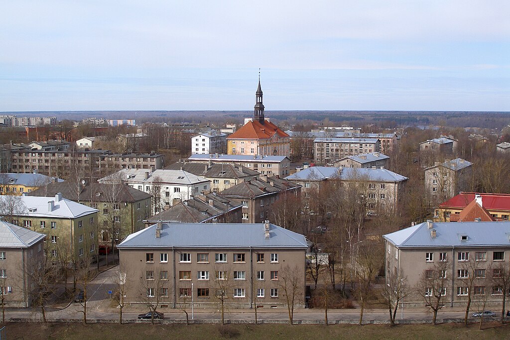
English:
Narva
town hall in what was before WWII the old town, surrounded by Soviet-era buildings.
Eesti:
Narva
raekoda, ümbritsetud nõukaaegsete hoonetega.
|
| Date | |
| Source | Own work |
| Author | Hannu |
| Camera location |
|
View this and other nearby images on: OpenStreetMap |
|
|---|
Licensing
|
|
I, the copyright holder of this work, release this work into the
public domain
. This applies worldwide.
In some countries this may not be legally possible; if so: I grant anyone the right to use this work for any purpose , without any conditions, unless such conditions are required by law. |