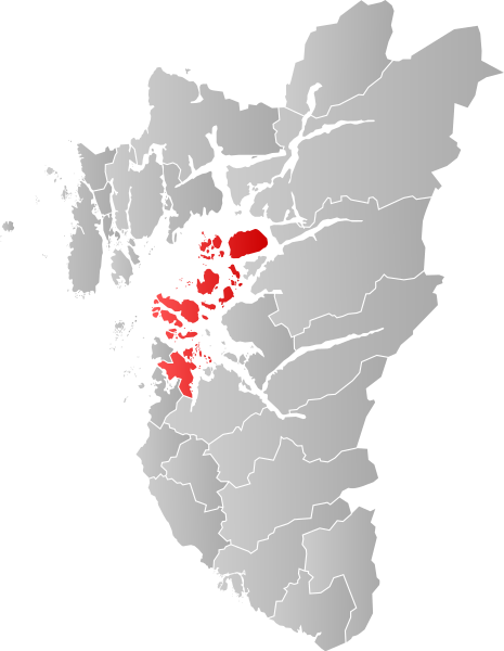
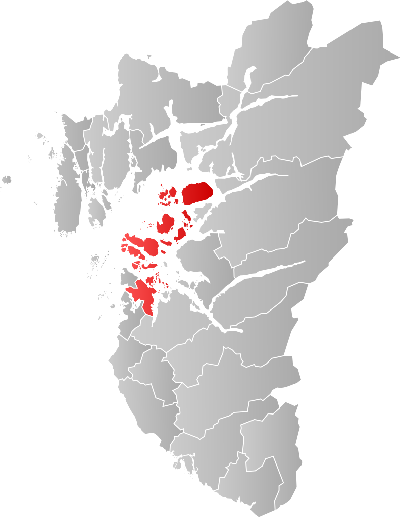
NO_1103_Stavanger.svg

Size of this PNG preview of this SVG file:
465 × 600 pixels
.
Other resolutions:
186 × 240 pixels
|
372 × 480 pixels
|
595 × 768 pixels
|
794 × 1,024 pixels
|
1,588 × 2,048 pixels
|
635 × 819 pixels
.
| Description |
Norsk bokmål:
Kart som viser [[:no: {{{1}}}| {{{1}}}]]s plassering innen [[:no: {{{2}}}| {{{2}}}]], laga av
Jon Harald Søby
.
English:
Map showing the position of [[:w: {{{1}}}| {{{1}}}]] within [[:w: {{{2}}}| {{{2}}}]], made by
Jon Harald Søby
.
Svenska:
Karta som visar [[:sv: {{{1}}}| {{{1}}}]] kommuns läge i [[:Category:{{{2}}}|
{{{2}}}
]] fylke, skapad av
Jon Harald Søby
.
|
||
| Date | |||
| Source | Own work | ||
| Author | Jon Harald Søby | ||
|
Permission
( Reusing this file ) |
|
||
| SVG development |
[[Category:Locator maps of {{{2}}}]] [[Category:{{{1}}}]]