Munro-colour-contour-map-sec15.png

Size of this preview:
800 × 568 pixels
.
Other resolutions:
320 × 227 pixels
|
640 × 454 pixels
|
1,024 × 726 pixels
|
1,280 × 908 pixels
|
2,364 × 1,677 pixels
.
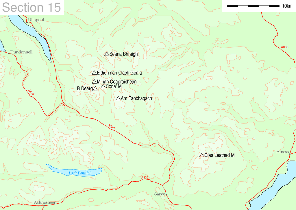
| Description | Map of Munro hills in SMC section 15 | |||||
| Source |
These maps are created by my own Perl scripts from public domain sources. The list of hills and the grid references are from Wikipedia. The coastline is derived from data from the US Govt. "Coast Line Extractor" (web). The contours are derived from data from US Govt. "SRTM Digital Elevation Model" (web). |
|||||
| Author | Thruston | |||||
|
Permission
( Reusing this file ) |
|
