Muchelney_Parish_church,_abbey_foreground_ruins.jpg
No higher resolution available.
|
This is a photo of
listed building
number
1247849
.
|
| Camera location |
|
View this and other nearby images on: OpenStreetMap |
|
|---|
| Object location |
|
View this and other nearby images on: OpenStreetMap |
|
|---|
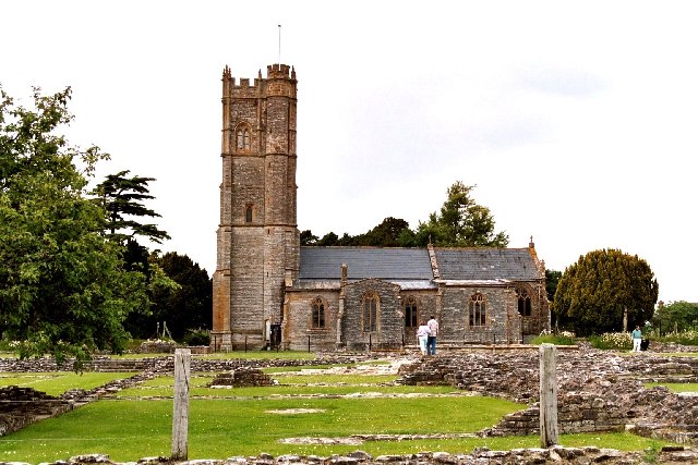
| Description | Muchelney Parish church. In the foreground are the ruins of the foundation walls of Muchelney Abbey . | ||
| Date | |||
| Source | Geograph project | ||
| Author | Robert Edwards | ||
|
Permission
( Reusing this file ) |
This file is licensed under the
Creative Commons
Attribution-Share Alike 2.0 Generic
license.
Attribution:
Robert Edwards
|

_region:GB-EAW_&language=en)