Mount_Hood_3233.JPG

Size of this preview:
800 × 533 pixels
.
Other resolutions:
320 × 213 pixels
|
640 × 427 pixels
|
1,024 × 683 pixels
|
1,280 × 853 pixels
|
2,560 × 1,707 pixels
|
4,272 × 2,848 pixels
.
Summary
| Description |
English:
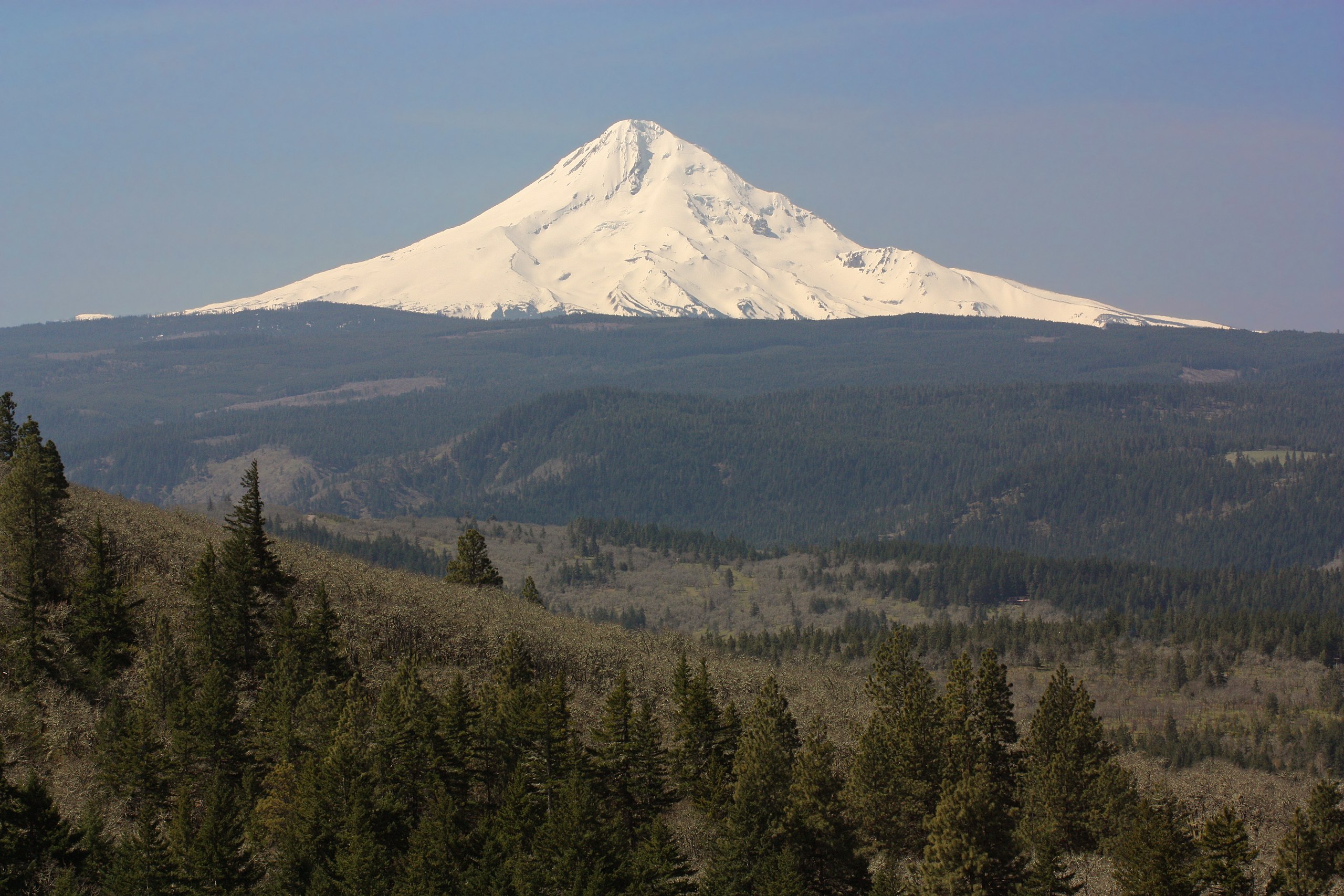
Mount Hood
11,249 ft (3,429 m, skyline)
|
| Date | 1 May 2011, 18:20:55 +00:00 |
| Source | Own work |
| Author | Walter Siegmund (talk) |
| Other versions |
|

| Camera location |
|
View this and other nearby images on: OpenStreetMap |
|
|---|
| Camera Model | Canon EOS DIGITAL REBEL XSi |
|---|---|
| Shutter speed | 1/200 |
| Aperture | f/11.0 |
| Film speed (ISO) | 400 |
| Focal length | 100.0 |
©2012 Walter Siegmund
Licensing

|
Permission is granted to copy, distribute and/or modify this document under the terms of the GNU Free Documentation License , Version 1.2 or any later version published by the Free Software Foundation ; with no Invariant Sections, no Front-Cover Texts, and no Back-Cover Texts. A copy of the license is included in the section entitled GNU Free Documentation License . |
This file is licensed under the
Creative Commons
Attribution-Share Alike
3.0 Unported
,
2.5 Generic
,
2.0 Generic
and
1.0 Generic
license.
-
You are free:
- to share – to copy, distribute and transmit the work
- to remix – to adapt the work
-
Under the following conditions:
- attribution – You must give appropriate credit, provide a link to the license, and indicate if changes were made. You may do so in any reasonable manner, but not in any way that suggests the licensor endorses you or your use.
- share alike – If you remix, transform, or build upon the material, you must distribute your contributions under the same or compatible license as the original.
| Annotations | This image is annotated: View the annotations at Commons |