Miyagi-ken_géolocalisation.svg

Size of this PNG preview of this SVG file:
498 × 599 pixels
.
Other resolutions:
199 × 240 pixels
|
399 × 480 pixels
|
638 × 768 pixels
|
851 × 1,024 pixels
|
1,702 × 2,048 pixels
|
1,703 × 2,049 pixels
.
Summary
| Camera location |
|
View this and other nearby images on: OpenStreetMap |
|
|---|
| Description |
Deutsch:
Karte der
Präfektur Miyagi
.
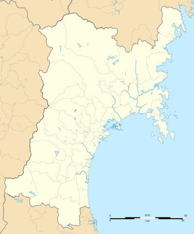
English:
Blank map of the
Miyagi Prefecture
, for geolocalisation purpose.
Español:
Mapa de la
Prefectura de Miyagi
.
Italiano:
Mappa della
Prefettura di Miyagi
.
日本語:
宮城県
の地図.
Português:
Carta de la província de
Miyagi
.
|
||
| Date | (UTC) | ||
| Source |
Création personnelle ;
|
||
| Author | © Bourrichon ( talk ) - fr:Bourrichon | ||
|
Permission
( Reusing this file ) |
|
||
| Other versions | File:Miyagi-ken géolocalisation relief.svg |
This
W3C-unspecified
vector image
was created with
Inkscape
.
Licensing
I, the copyright holder of this work, hereby publish it under the following license:
This file is licensed under the
Creative Commons
Attribution-Share Alike 2.0 France
license.
Attribution:
Bourrichon
(
atelier graphique
)
-
You are free:
- to share – to copy, distribute and transmit the work
- to remix – to adapt the work
-
Under the following conditions:
- attribution – You must give appropriate credit, provide a link to the license, and indicate if changes were made. You may do so in any reasonable manner, but not in any way that suggests the licensor endorses you or your use.
- share alike – If you remix, transform, or build upon the material, you must distribute your contributions under the same or compatible license as the original.
