Michigan_1718.jpg
Size of this preview:
800 × 497 pixels
.
Other resolutions:
320 × 199 pixels
|
640 × 398 pixels
|
1,006 × 625 pixels
.
| Description |
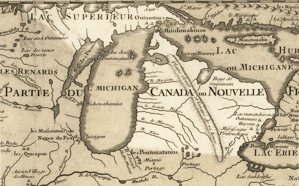
English:
Michigan
1718, approximate modern state area highlighted, from
Carte de la Louisiane et du cours du Mississipi
by
Guillaume de L'Isle
.
LicensingMy contributions cleaning and highlighting are also donated to Public Domain. Bill Whittaker ( talk ) 20:14, 27 July 2009 (UTC) |
|||||||||||||||||||||||
| Date | (mod. 2009) | |||||||||||||||||||||||
| Source | Library of Congress Public Domain Site: http://hdl.loc.gov/loc.gmd/g3700.ct000666 | |||||||||||||||||||||||
| Author |
|
|||||||||||||||||||||||
|
Permission
( Reusing this file ) |
US Govt Public Domain, also author +100 years | |||||||||||||||||||||||

Licensing
|
|
This work is in the public domain in its country of origin and other countries and areas where the copyright term is the author's life plus 100 years or fewer . |
| This file has been identified as being free of known restrictions under copyright law, including all related and neighboring rights. | |
Original upload log
The original description page was
here
. All following user names refer to en.wikipedia.
- 2009-07-27 20:12 Billwhittaker 1006×625× (383135 bytes) {{Information |Description = [[Michigan]] 1718, approximate modern state area highlighted, from ''Carte de la Louisiane et du cours du Mississipi'' by [[Guillaume de L'Isle]]. |Source = Library of Congress Public Domain Site: http://hdl.loc.g