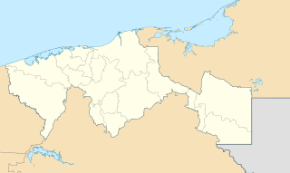
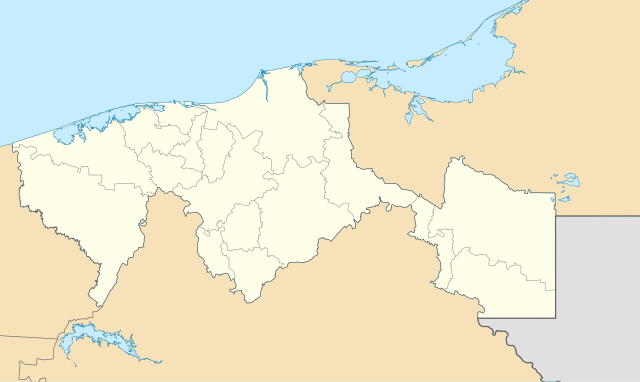
Mexico_Tabasco_location_map.svg

Size of this PNG preview of this SVG file:
800 × 477 pixels
.
Other resolutions:
320 × 191 pixels
|
640 × 382 pixels
|
1,024 × 610 pixels
|
1,280 × 763 pixels
|
2,560 × 1,526 pixels
|
1,050 × 626 pixels
.
W3C-validity not checked.
| Description |
English:
Location Map of
Tabasco
Equirectangular projection, Geographic limits of the map:
Deutsch:
Positionskarte von
Tabasco
Quadratische Plattkarte, Geographische Begrenzung der Karte:
|
| Date | |
| Source |
OpenStreetMap.org
This
W3C-unspecified
vector image
was created with
Inkscape
.
|
| Author | Spischot |
Licensing
I, the copyright holder of this work, hereby publish it under the following licenses:
|
|
This file is licensed under the Creative Commons Attribution-Share Alike 3.0 Unported license. | |
|
||
| This licensing tag was added to this file as part of the GFDL licensing update . |

|
Permission is granted to copy, distribute and/or modify this document under the terms of the GNU Free Documentation License , Version 1.2 or any later version published by the Free Software Foundation ; with no Invariant Sections, no Front-Cover Texts, and no Back-Cover Texts. A copy of the license is included in the section entitled GNU Free Documentation License . |
You may select the license of your choice.