Mexico_Guanajuato_location_map.svg

Size of this PNG preview of this SVG file:
512 × 425 pixels
.
Other resolutions:
289 × 240 pixels
|
578 × 480 pixels
|
925 × 768 pixels
|
1,234 × 1,024 pixels
|
2,467 × 2,048 pixels
.
| Description |
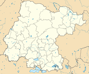
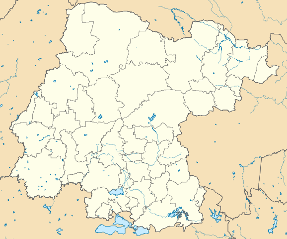
Mapa de los municipios del estado de Guanajuato, México. Limites del mapa:
|
||
| Date | |||
| Source |
Own work
This
W3C-unspecified
vector image
was created with
Inkscape
.
|
||
| Author | Battroid | ||
|
Permission
( Reusing this file ) |
I, the copyright holder of this work, hereby publish it under the following licenses:
This file is licensed under the
Creative Commons
Attribution-Share Alike 3.0 Unported
license.
You may select the license of your choice.
|
