Maysville_south_of_Chillicothe,_Bowersville.jpg

Size of this preview:
800 × 532 pixels
.
Other resolutions:
320 × 213 pixels
|
640 × 426 pixels
|
1,024 × 681 pixels
|
1,280 × 851 pixels
|
2,560 × 1,702 pixels
|
6,016 × 4,000 pixels
.
| Camera location |
|
View this and other nearby images on: OpenStreetMap |
|
|---|
| Description |
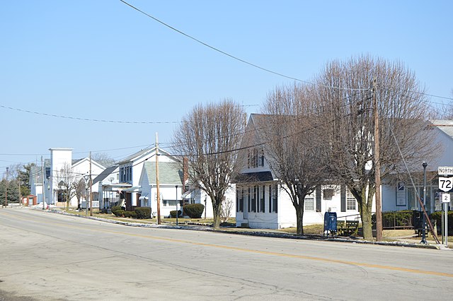
English:
Buildings on the eastern side of Maysville Street (
State Route 72
) north of the Xenia Street intersection in
Bowersville
,
Ohio
,
United States
.
|
||
| Date | Taken on 19 February 2016 | ||
| Source | Own work | ||
| Author | Nyttend | ||
|
Permission
( Reusing this file ) |
|
| Annotations | This image is annotated: View the annotations at Commons |
