Marden_Henge_map.png
No higher resolution available.
| Description |
English:
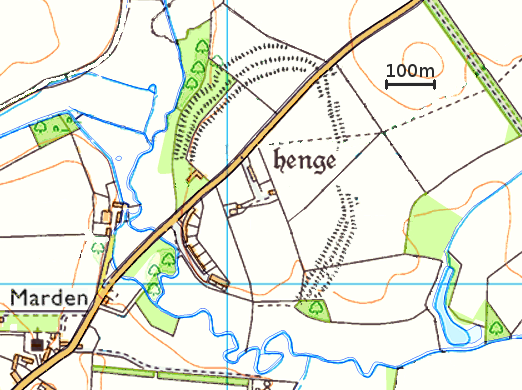
Simplified map of the
Marden Henge
earthwork in Wiltshire, England. Based on Ordnance Survey maps, available under the
Ordnance Survey OpenData
Licence.
|
| Date | |
| Source | Ordnance Survey OpenData |
| Author | Pasicles , created using Ordnance Survey data |
|
Permission
( Reusing this file ) |
This file is licensed under the
Creative Commons
Attribution-Share Alike 3.0 Unported
license.
Attribution:
Contains Ordnance Survey data © Crown copyright and database right
|