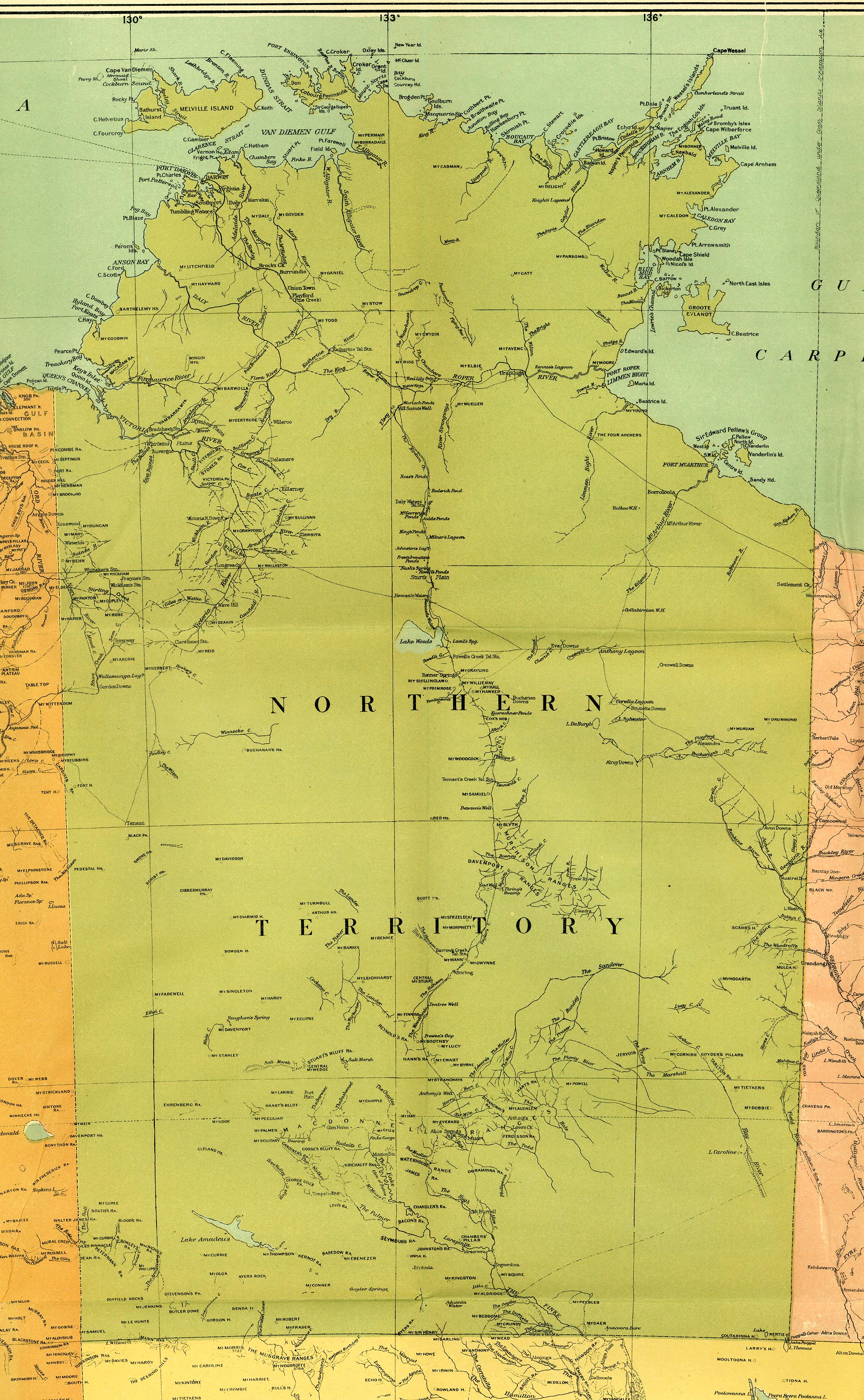
Map_of_the_Northern_Territory,_Australia,_1916.jpg
Size of this preview:
370 × 599 pixels
.
Other resolutions:
148 × 240 pixels
|
296 × 480 pixels
|
474 × 768 pixels
|
632 × 1,024 pixels
|
1,932 × 3,130 pixels
.
From the map "Commonwealth of Australia", published with the Official Year Book of the Commonwealth of Australia, Melbourne: McCarron, Bird and Co., 1916.
|
|
This image or other work is of
Australian
origin and is now in the
public domain
because its term of copyright has expired. According to the
Australian Copyright Council (ACC)
,
ACC Information Sheet G023v19 (Duration of copyright) (January 2019)
.
1
When using this template, please provide information of where the image was first published and who created it.
|

|
||||||||||||||||||