Map_of_Xiangkhoang_Province,_Laos.jpg

Size of this preview:
782 × 600 pixels
.
Other resolutions:
313 × 240 pixels
|
626 × 480 pixels
|
1,001 × 768 pixels
|
1,305 × 1,001 pixels
.
Summary
| Description |
English:
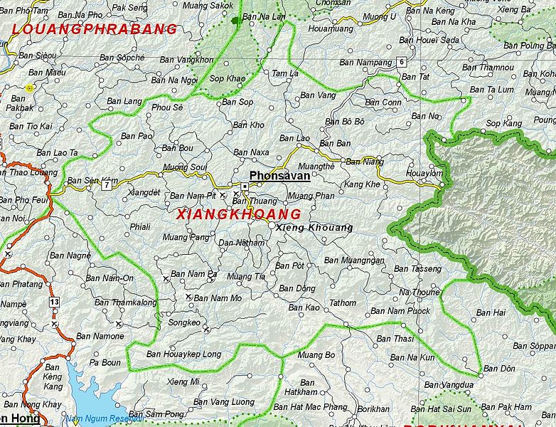
Map of Xiangkhoang Province, Laos.
|
| Date | |
| Source | Based on File:UNOSAT Laos Base Map.jpg |
| Author | UNOSAT, United Nations, modified by Dr. Blofeld |
|
Permission
( Reusing this file ) |
The original file is marked with the UN symbol which means that it is a public domain resource. |
Licensing
|
|
This work is ineligible for copyright and therefore in the public domain because it consists entirely of information that is common property and contains no original authorship . |