Map_of_USA_UT.svg

Size of this PNG preview of this SVG file:
286 × 186 pixels
.
Other resolutions:
320 × 208 pixels
|
640 × 416 pixels
|
1,024 × 666 pixels
|
1,280 × 832 pixels
|
2,560 × 1,665 pixels
.
Clickable version
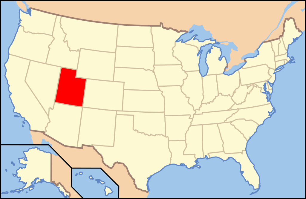
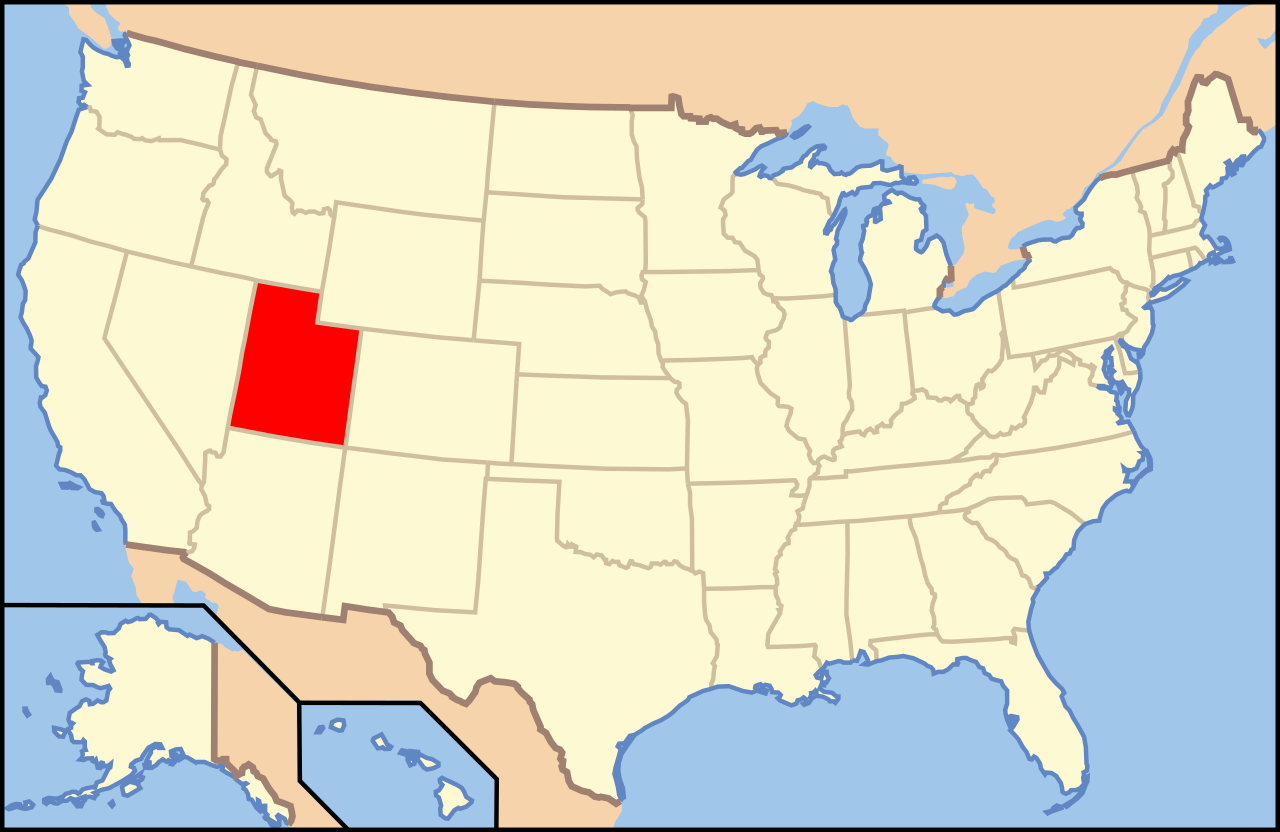
| Description | Map of USA with Utah highlighted | ||||||||
| Date | see file history below. | ||||||||
| Source | own work by uploader, based on Image:Map of USA without state names.svg | ||||||||
| Author |
This version: uploader
Base versions this one is derived from: originally created by en:User:Wapcaplet |
||||||||
|
Permission
( Reusing this file ) |
This file is licensed under the
Creative Commons
Attribution 2.0 Generic
license.
|
||||||||
| Other versions | image:Map of USA with state names.svg |
