Map_of_Towns_in_Oswego_County,_New_York.svg

Size of this PNG preview of this SVG file:
607 × 545 pixels
.
Other resolutions:
267 × 240 pixels
|
535 × 480 pixels
|
855 × 768 pixels
|
1,141 × 1,024 pixels
|
2,281 × 2,048 pixels
.
| Description |
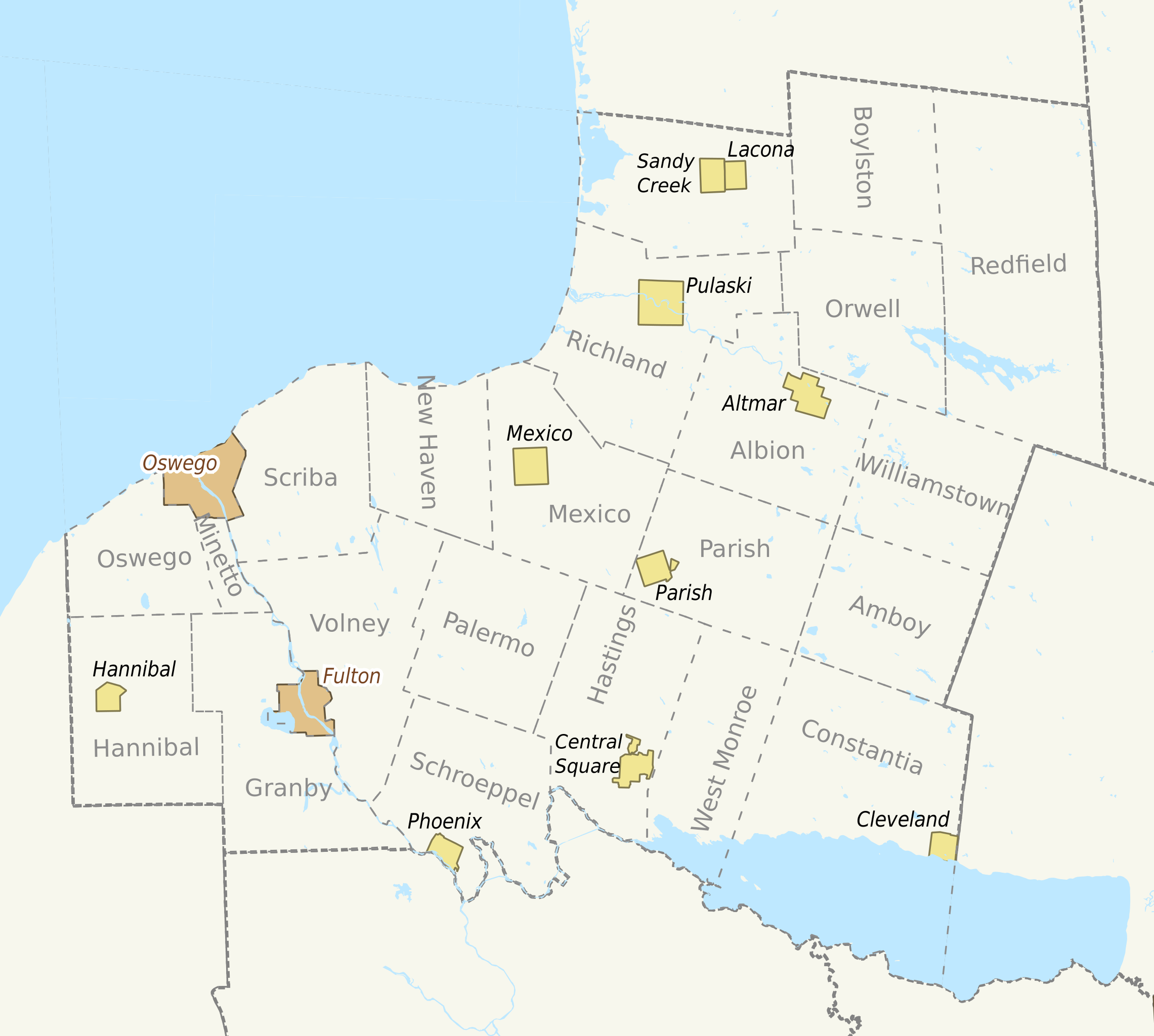
English:
Based on Sub-County Map from
http://libremap.org/data/boundary/
. Adapted the original file by isolating the map to only towns in [COUNTY_NAME] County, and adding town name labels.
|
| Date | 20 June 2008 (original upload date) |
| Source | Transferred from en.wikipedia to Commons by IngerAlHaosului using CommonsHelper . |
| Author |
. The original uploader was Smb6009 at English Wikipedia . |
Licensing
This file is licensed under the
Creative Commons
Attribution-Share Alike 2.0 Generic
license.
-
You are free:
- to share – to copy, distribute and transmit the work
- to remix – to adapt the work
-
Under the following conditions:
- attribution – You must give appropriate credit, provide a link to the license, and indicate if changes were made. You may do so in any reasonable manner, but not in any way that suggests the licensor endorses you or your use.
- share alike – If you remix, transform, or build upon the material, you must distribute your contributions under the same or compatible license as the original.
Original upload log
The original description page was
here
. All following user names refer to en.wikipedia.
- 2008-06-20 22:59 Smb6009 200×200× (45049 bytes) Resized to keep aspect ratio
- 2008-06-20 21:46 Smb6009 200×200× (44561 bytes) {{Information |Description=Based on Sub-County Map from http://libremap.org/data/boundary/. Adapted the original file by isolating the map to only towns in [COUNTY_NAME] County, and adding town name labels. |Source=http://libremap.org/data/boundary/ |Dat
- 2008-06-20 21:44 Smb6009 200×200× (44561 bytes) Based on Sub-County Map from http://libremap.org/data/boundary/. Adapted the original file by isolating the map to only towns in [COUNTY_NAME] County, and adding town name labels. Redistributed with the Creative Commons Attribution-ShareAlike 2.0 license.
- 2008-06-20 21:41 Smb6009 200×200× (47212 bytes) Based on Sub-County Map from http://libremap.org/data/boundary/. Adapted the original file by isolating the map to only towns in Oswego County, NY, and adding town and city name labels. Redistributed with the Creative Commons Attribution-ShareAlike 2.0 li