Map_of_Ouachita_River_in_Louisiana.jpg
Size of this preview:
450 × 600 pixels
.
Other resolutions:
180 × 240 pixels
|
360 × 480 pixels
|
576 × 768 pixels
|
768 × 1,024 pixels
|
1,536 × 2,048 pixels
|
2,727 × 3,636 pixels
.
Summary
| Description |
English:
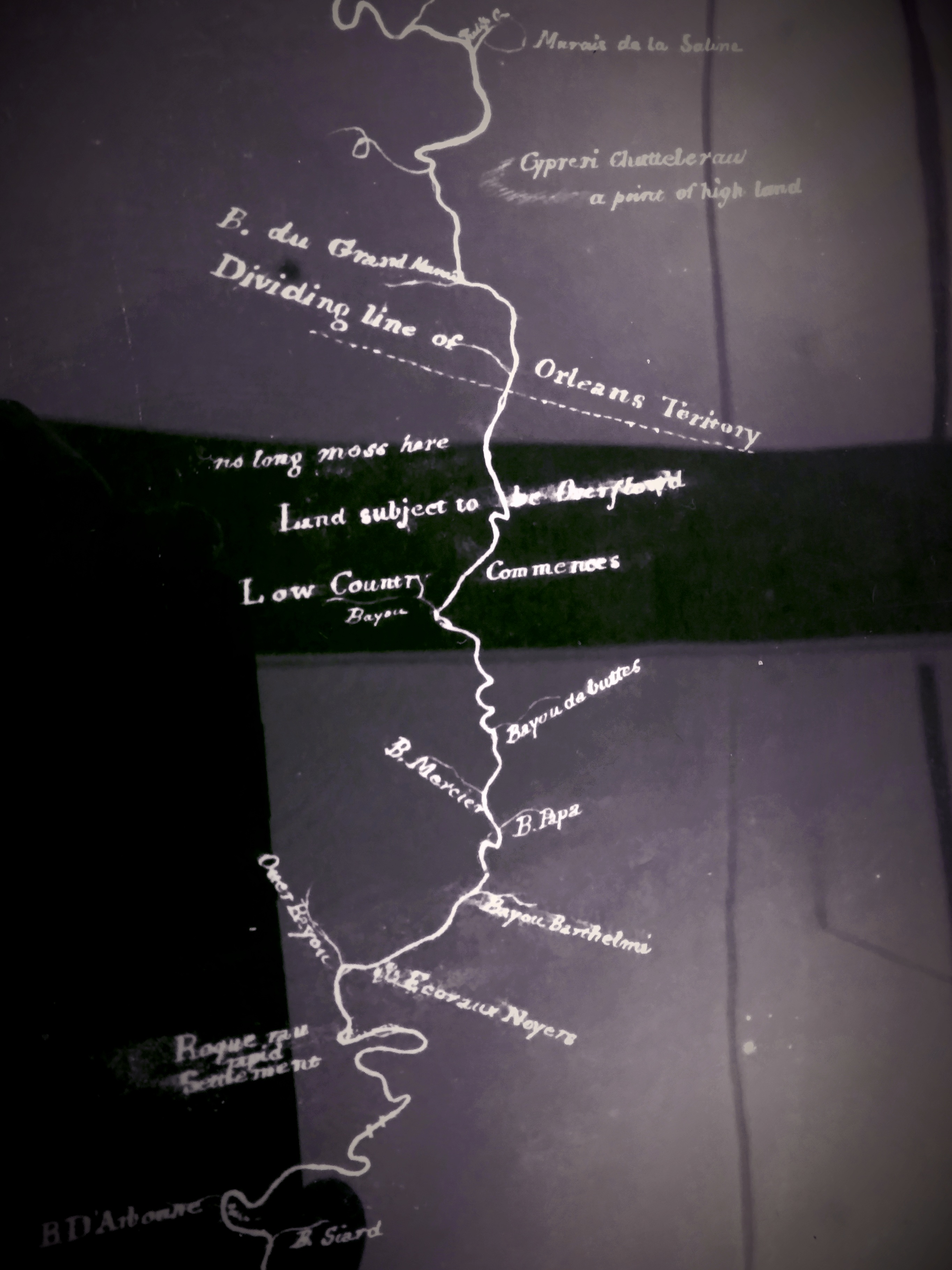
Portion of a colonial map of Louisiana; Shows creeks, rivers, forts, property owners, and Orleans boundary lines.
|
| Date | |
| Source |
Mississippi Department of Archives and History. Map of Black River in Louisiana [map] :2nd of Mississippi River up to St. Catherine's Landing. Material type: Map Publisher: [S.l. : s.n., 1796?] Full call number: MA/98.0149(b) Description: 1 map : photocopy ; 53 x 25. |
| Author | Unknown author |
| Camera location |
|
View this and other nearby images on: OpenStreetMap |
|
|---|
Border of Louisiana and Arkansas
Licensing
|
|
This work is in the public domain in its country of origin and other countries and areas where the copyright term is the author's life plus 70 years or fewer . This work is in the public domain in the United States because it was published (or registered with the U.S. Copyright Office ) before January 1, 1929. |
| This file has been identified as being free of known restrictions under copyright law, including all related and neighboring rights. | |