Map_indianized_kingdoms_indochina.jpg
Size of this preview:
576 × 600 pixels
.
Other resolutions:
230 × 240 pixels
|
461 × 480 pixels
|
963 × 1,003 pixels
.
Summary
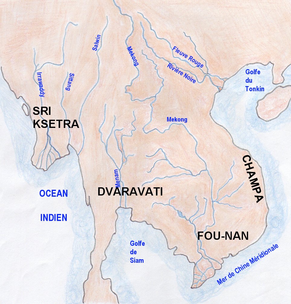
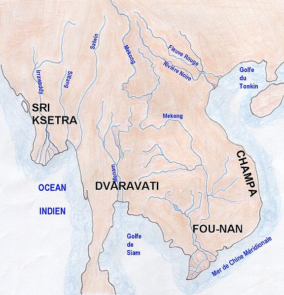
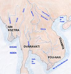
| Description | Map of indianized kingdoms of Indochina (1st to IXth centuries AC) |
| Date | |
| Source | Own work |
| Author | Emmanuel de Chambost (France) |
|
Permission
( Reusing this file ) |
This map of indianized kingdoms, created by myself of Indochina is in the public domain without any restriction. EdC, June 18th 2006 |
Licensing
|
|
I, the copyright holder of this work, release this work into the
public domain
. This applies worldwide.
In some countries this may not be legally possible; if so: I grant anyone the right to use this work for any purpose , without any conditions, unless such conditions are required by law. |