Mangrove_roots_at_low_tide.jpg
Size of this preview:
800 × 600 pixels
.
Other resolutions:
320 × 240 pixels
|
640 × 480 pixels
|
1,024 × 768 pixels
|
1,280 × 960 pixels
|
2,560 × 1,920 pixels
|
4,608 × 3,456 pixels
.
Summary
| Description |
English:
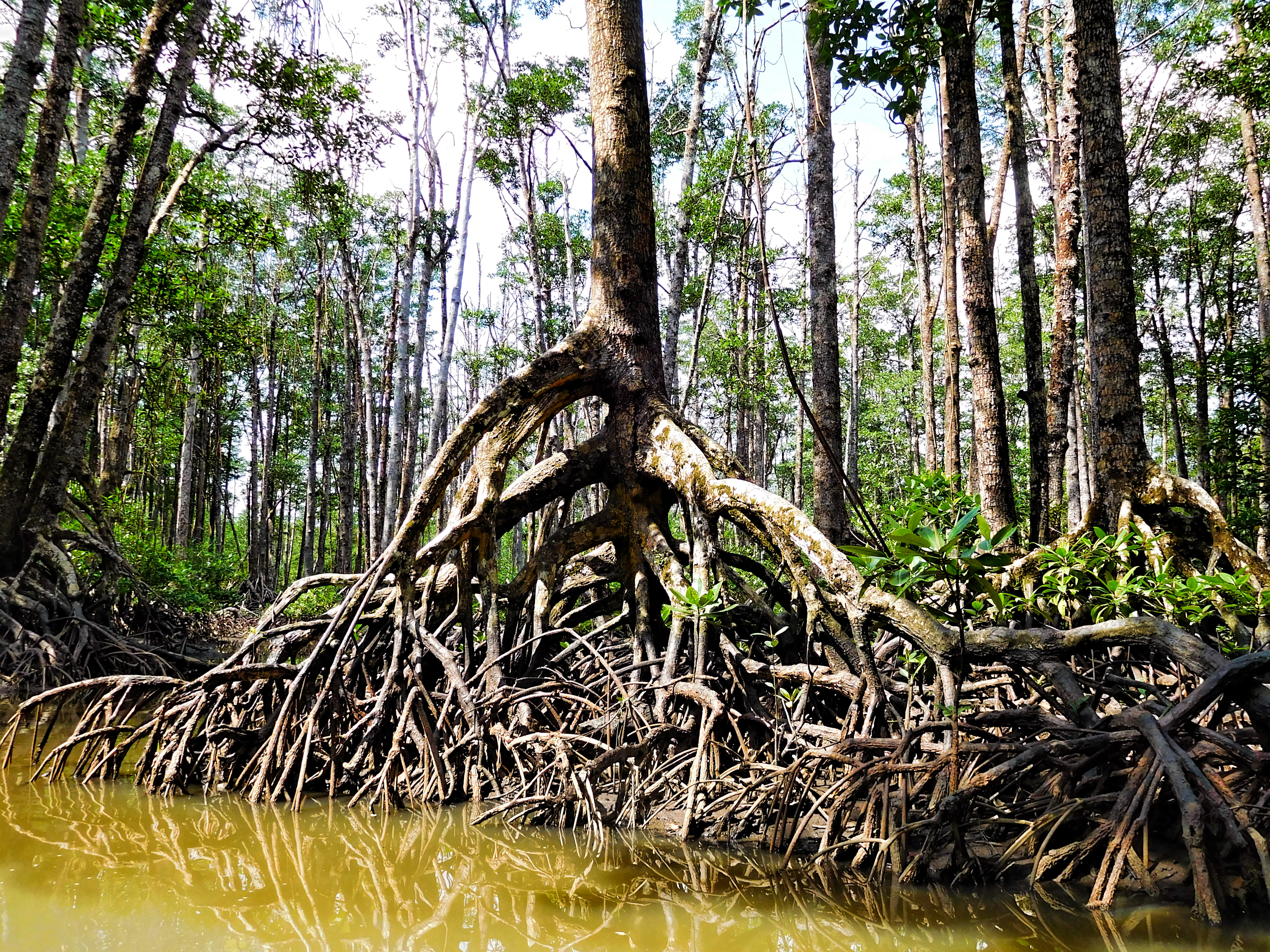
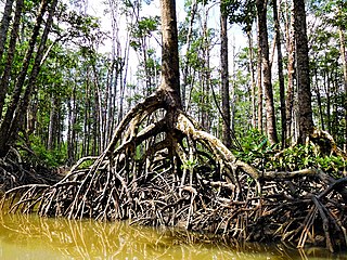
Mangrove roots at low tide. The mangrove forest is one of eight distinct forest formations that are part of the above-ground portion of the national park.
The Puerto-Princesa Subterranean River National Park was declared a UNESCO World Heritage Site in 1999. On Google Earth: mangrove forest 10°11'47.90"N, 118°54'17.82"E 20180126 Philippines 3999 Sabang sRGB |
| Date | |
| Source | https://www.flickr.com/photos/9508280@N07/40143596035/ |
| Author | Dan Lundberg |
| Camera location |
|
View this and other nearby images on: OpenStreetMap |
|
|---|
Licensing
This file is licensed under the
Creative Commons
Attribution-Share Alike 2.0 Generic
license.
-
You are free:
- to share – to copy, distribute and transmit the work
- to remix – to adapt the work
-
Under the following conditions:
- attribution – You must give appropriate credit, provide a link to the license, and indicate if changes were made. You may do so in any reasonable manner, but not in any way that suggests the licensor endorses you or your use.
- share alike – If you remix, transform, or build upon the material, you must distribute your contributions under the same or compatible license as the original.
|
|
This image was originally posted to Flickr by Dan Lundberg at https://flickr.com/photos/9508280@N07/40143596035 . It was reviewed on 19 October 2021 by FlickreviewR 2 and was confirmed to be licensed under the terms of the cc-by-sa-2.0. |