Mahastupa_in_Thotlakonda,_Visakhapatnam_(2).jpg
Size of this preview:
800 × 600 pixels
.
Other resolutions:
320 × 240 pixels
|
640 × 480 pixels
|
1,024 × 768 pixels
|
1,280 × 960 pixels
|
2,560 × 1,920 pixels
|
4,032 × 3,024 pixels
.
Summary
| Description |
English:
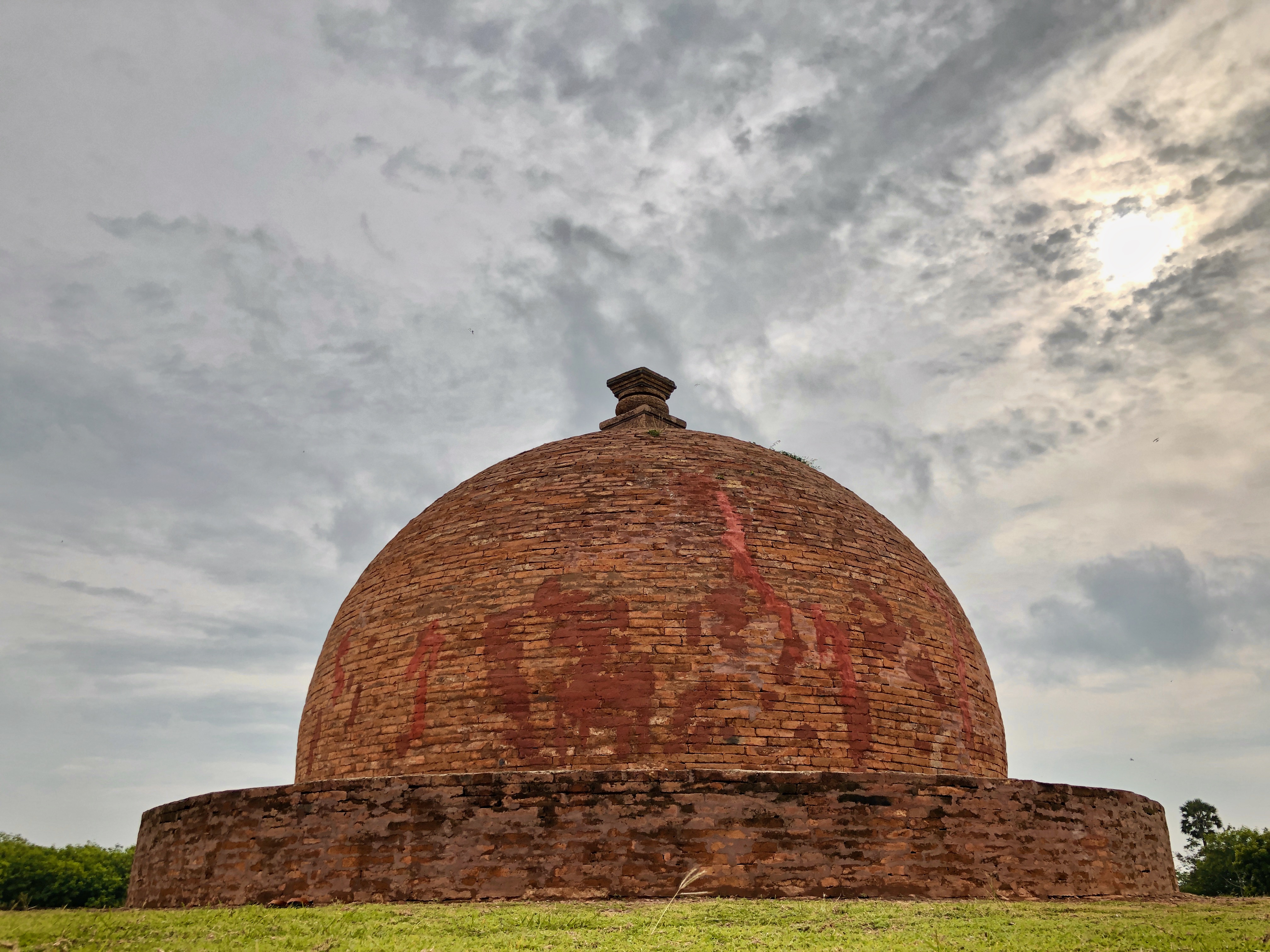
Thotlakonda Buddhist Complex is situated on a hill near Bheemunipatnam. The hill is about 128 metres (420 ft) above sea level and overlooks the sea. The Telugu name Toṭlakoṇḍa derived from the presence of a number of rock-cut cisterns hewn into the bedrock of the hillock.
|
||
| Date | |||
| Source | Own work | ||
| Author | iMahesh |
| Camera location |
|
View this and other nearby images on: OpenStreetMap |
|
|---|
.jpg¶ms=017.494200_N_0083.243200_E_globe:Earth_type:camera__&language=en)
Licensing
I, the copyright holder of this work, hereby publish it under the following license:
This file is licensed under the
Creative Commons
Attribution-Share Alike 4.0 International
license.
-
You are free:
- to share – to copy, distribute and transmit the work
- to remix – to adapt the work
-
Under the following conditions:
- attribution – You must give appropriate credit, provide a link to the license, and indicate if changes were made. You may do so in any reasonable manner, but not in any way that suggests the licensor endorses you or your use.
- share alike – If you remix, transform, or build upon the material, you must distribute your contributions under the same or compatible license as the original.

|
This image was uploaded as part of
Wiki Loves Monuments 2019
.
|

|