Maghull_FC_-_geograph.org.uk_-_491925.jpg
No higher resolution available.
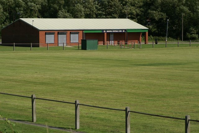
| Description | Maghull FC. The pitch is beside the Leeds-Liverpool canal. Established in 1921, the team play in the lower levels of the league pyramid, for many years in the North-west Counties League, but recently in the West Cheshire League |
| Date | |
| Source | From geograph.org.uk ; transferred by User:Nanonic using geograph_org2commons . |
| Author | Mike Pennington |
|
Permission
( Reusing this file ) |
Creative Commons Attribution Share-alike license 2.0 |
|
Attribution
( required by the license ) |
Mike Pennington / Maghull FC / |
| Camera location |
|
View this and other nearby images on: OpenStreetMap |
|
|---|
| Object location |
|
View this and other nearby images on: OpenStreetMap |
|
|---|
_region:GB-GBN_heading:135.00&language=en)

|
This image was taken from the
Geograph project
collection. See
this photograph's page
on the Geograph website for the photographer's contact details. The copyright on this image is owned by
Mike Pennington
and is licensed for reuse under the
Creative Commons
Attribution-ShareAlike 2.0 license.
|
This file is licensed under the
Creative Commons
Attribution-Share Alike 2.0 Generic
license.
Attribution:
Mike Pennington
-
You are free:
- to share – to copy, distribute and transmit the work
- to remix – to adapt the work
-
Under the following conditions:
- attribution – You must give appropriate credit, provide a link to the license, and indicate if changes were made. You may do so in any reasonable manner, but not in any way that suggests the licensor endorses you or your use.
- share alike – If you remix, transform, or build upon the material, you must distribute your contributions under the same or compatible license as the original.