Lowestoft_10-4-2004.jpg

Size of this preview:
800 × 495 pixels
.
Other resolutions:
320 × 198 pixels
|
640 × 396 pixels
|
1,024 × 634 pixels
|
1,280 × 792 pixels
|
1,800 × 1,114 pixels
.
Summary
| Description |
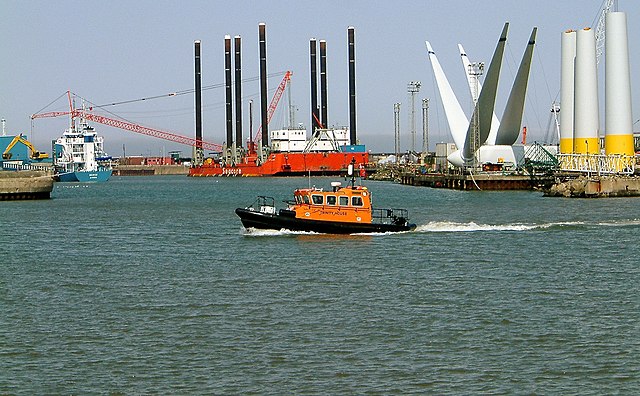
English:
Windfarm construction in Lowestoft harbour
|
| Date | |
| Source | Martin Petitt's Flickr stream at https://www.flickr.com/photos/mdpettitt/4979264318/ |
| Author | Martin Petitt |
| Camera location |
|
View this and other nearby images on: OpenStreetMap |
|
|---|
Licensing

|
The copyright holder of this file allows anyone to use it for any purpose, provided that the copyright holder is properly attributed. Redistribution, derivative work, commercial use, and all other use is permitted. |
|
|