Locator_County_of_Mark_(1560).svg

Size of this PNG preview of this SVG file:
800 × 530 pixels
.
Other resolutions:
320 × 212 pixels
|
640 × 424 pixels
|
1,024 × 678 pixels
|
1,280 × 848 pixels
|
2,560 × 1,695 pixels
|
5,029 × 3,330 pixels
.
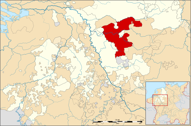
| Description | Locator map of the County of Mark, modernday North Rhine-Westphalia , Germany |
| Date | |
| Source | File:Locator Principality of Stavelot-Malmedy (1560).svg |
| Author | ZH2000 |
|
Permission
( Reusing this file ) |
This file is licensed under the
Creative Commons
Attribution-Share Alike 3.0 Unported
license.
|
| Other versions |
|
.svg)
.svg)
.svg)
.svg)
.svg)
.svg)
.svg)