Location_map_United_Kingdom_Blackburn_central.svg

Size of this PNG preview of this SVG file:
709 × 599 pixels
.
Other resolutions:
284 × 240 pixels
|
568 × 480 pixels
|
909 × 768 pixels
|
1,211 × 1,024 pixels
|
2,423 × 2,048 pixels
|
1,093 × 924 pixels
.
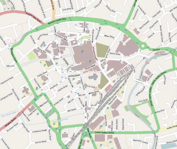
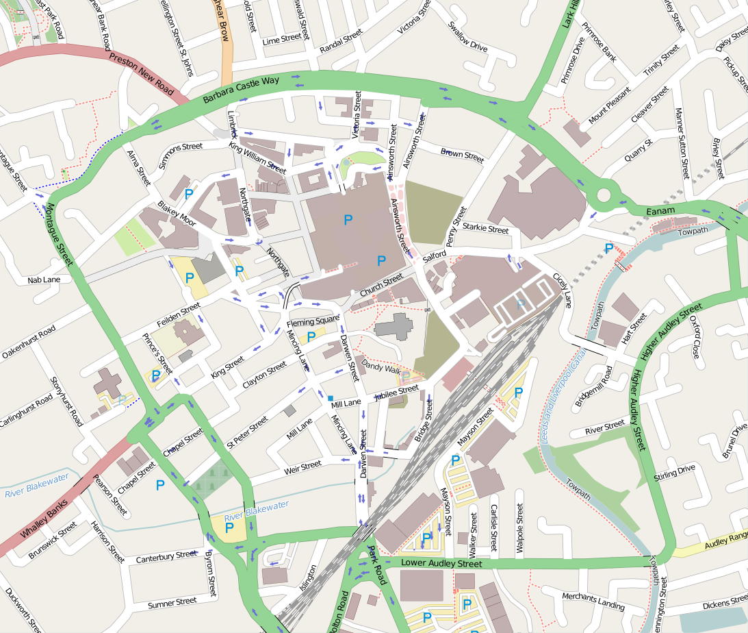
Summary
| Description |
English:
Map of
Blackburn
town centre, Lancashire, England.
Equirectangular map projection on WGS 84 datum. Geographic limits:
|
| Date | |
| Source |
Derived from |
| Author |
|
Licensing
|
|
This work contains information from
OpenStreetMap
, which is made available under the
Open Database License (ODbL)
.
The ODbL does not require any particular license for maps produced from ODbL data. Prior to 1 August 2020, map tiles produced by the OpenStreetMap Foundation were licensed under the CC-BY-SA-2.0 license . Maps produced by other people may be subject to other licences. |
This file is licensed under the
Creative Commons
Attribution-Share Alike 2.0 Generic
license.
Attribution:
© OpenStreetMap contributors.
-
You are free:
- to share – to copy, distribute and transmit the work
- to remix – to adapt the work
-
Under the following conditions:
- attribution – You must give appropriate credit, provide a link to the license, and indicate if changes were made. You may do so in any reasonable manner, but not in any way that suggests the licensor endorses you or your use.
- share alike – If you remix, transform, or build upon the material, you must distribute your contributions under the same or compatible license as the original.