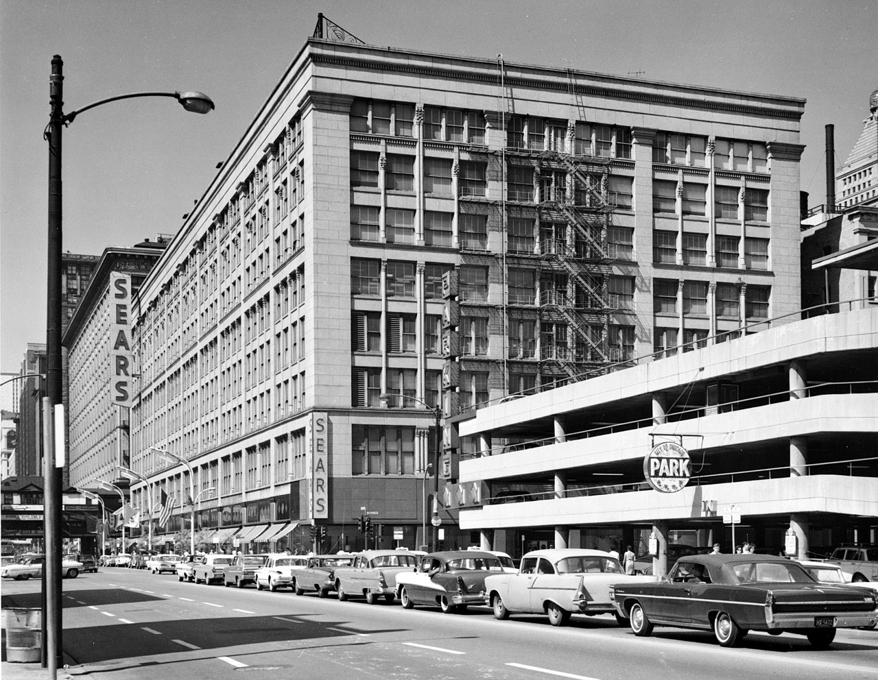
Leiter_II_Building,_South_State_&_East_Congress_Streets,_Chicago,_Cook_County,_IL.jpg

Size of this preview:
774 × 600 pixels
.
Other resolutions:
310 × 240 pixels
|
620 × 480 pixels
|
992 × 768 pixels
|
1,280 × 992 pixels
|
2,560 × 1,983 pixels
|
3,000 × 2,324 pixels
.
|
|
This is an image of a place or building that is listed on the
National Register of Historic Places
in the
United States of America
. Its reference number is
76000695
.
|
Summary
| Description | Leiter II Building, South State & East Congress Streets, Chicago, Cook County, IL | ||
| Date | |||
| Source |
|
||
| Author | Cervin Robinson, Photographer |

| Object location |
|
View this and other nearby images on: OpenStreetMap |
|
|---|

|
This file comes from the
Historic American Buildings Survey (HABS), Historic American Engineering Record (HAER) or Historic American Landscapes Survey (HALS)
. These are programs of the National Park Service established for the purpose of documenting historic places. Records consist of measured drawings, archival photographs, and written reports.
|
|
|
This image or media file contains material based on a work of a National Park Service employee, created as part of that person's official duties. As a work of the U.S. federal government , such work is in the public domain in the United States. See the NPS website and NPS copyright policy for more information. |
|