Lebuhraya_Pantai_Baru.jpg

Size of this preview:
800 × 600 pixels
.
Other resolutions:
320 × 240 pixels
|
640 × 480 pixels
|
1,024 × 767 pixels
|
1,280 × 959 pixels
|
2,560 × 1,919 pixels
|
3,999 × 2,997 pixels
.
Summary
| Description |
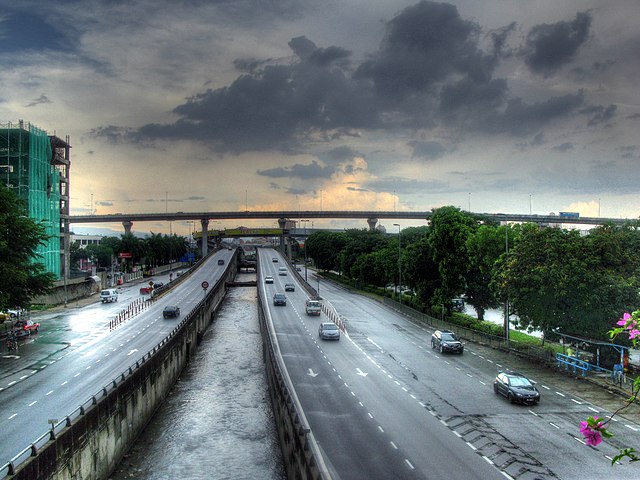
English:
Lebuhraya Pantai Baru, Subang Jaya - Tonemapped from an HDR image generated by combining three exposures (0 EV, +2 EV, -2 EV)
|
| Date | |
| Source | Flickr |
| Author | Robert Lowe |
| Camera location |
|
View this and other nearby images on: OpenStreetMap |
|
|---|
Licensing
This file is licensed under the
Creative Commons
Attribution 2.0 Generic
license.
-
You are free:
- to share – to copy, distribute and transmit the work
- to remix – to adapt the work
-
Under the following conditions:
- attribution – You must give appropriate credit, provide a link to the license, and indicate if changes were made. You may do so in any reasonable manner, but not in any way that suggests the licensor endorses you or your use.
|
|
This image was originally posted to Flickr by rmlowe at https://www.flickr.com/photos/8143486@N04/4604400469 . It was reviewed on 4 December 2012 by FlickreviewR and was confirmed to be licensed under the terms of the cc-by-2.0. |
Original upload log
|
|
This file was imported from Wikivoyage Shared. |
The original description page was
here
. All following user names refer to wikivoyage-old/shared.
- 2010-08-25 06:00 DerFussi archive copy at the Wayback Machine 1024×767 (463844 bytes) {{Information |Description={{en|Lebuhraya Pantai Baru, Subang Jaya - Tonemapped from an HDR image generated by combining three exposures (0 EV, +2 EV, -2 EV)}} |Author={{Flickru|rmlow|Robert Lowe}} |Date=25. April 2010 |Source=[http://www.flickr.com/photos/rmlowe/4604400469 Flickr] |Permission= |other_versions= }} {{Location|3.073213| 101.589888}} [[Category:Subang Jaya]] {{FromFlickr}}