Lake_st_clair_landsat.jpeg
Size of this preview:
482 × 600 pixels
.
Other resolutions:
193 × 240 pixels
|
386 × 480 pixels
|
684 × 851 pixels
.
Summary
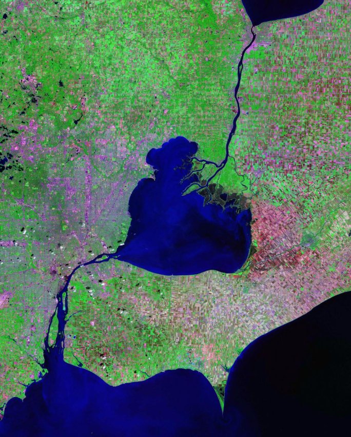
Lake St. Clair, St. Clair River and Detroit River - Landsat satellite photo
- Data source: zulu.ssc.nasa.gov/mrsid
Licensing
|
|
This file is in the public domain in the United States because it was solely created by NASA . NASA copyright policy states that "NASA material is not protected by copyright unless noted ". (See Template:PD-USGov , NASA copyright policy page or JPL Image Use Policy .) |
|

|
Warnings:
|
| Annotations | This image is annotated: View the annotations at Commons |