La_Paz_County_Incorporated_and_Unincorporated_areas_Bouse_highlighted.svg

Size of this PNG preview of this SVG file:
537 × 599 pixels
.
Other resolutions:
215 × 240 pixels
|
430 × 480 pixels
|
688 × 768 pixels
|
918 × 1,024 pixels
|
1,836 × 2,048 pixels
|
650 × 725 pixels
.
Summary
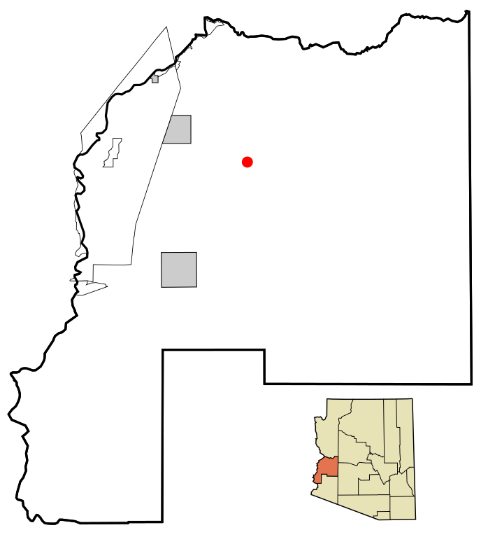
| Description | This map shows the incorporated areas and unincorporated areas in La Paz County , Arizona . Bouse is highlighted in red. Incorporated cities are shown in gray and unincorporated communities or CDPs are shown in white. Data for the borders and locations are based on maps from the La Paz County Public Works - Comprehensive Plan 2005 , US Census Bureau TIGER Map Server , and ITCA Map of Tribal Homelands in Arizona . I created this map in Inkscape . |
| Date | |
| Source | My own work, based on public domain information |
| Author | Ixnayonthetimmay |
|
Permission
( Reusing this file ) |
All rights not reserved. See below. |
| Other versions | See Category:Maps of La Paz County for other versions of this image. |
Licensing
|
|
I, the copyright holder of this work, release this work into the
public domain
. This applies worldwide.
In some countries this may not be legally possible; if so: I grant anyone the right to use this work for any purpose , without any conditions, unless such conditions are required by law. |