Kloesterle-cannstatt.jpg
No higher resolution available.
Summary
| Description |
English:
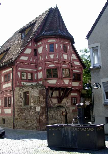
Béguinage at the Bad Cannstatt District of Stuttgart, Germany
|
| Date | |
| Source | https://de.wikipedia.org/wiki/Datei:Kloesterle-cannstatt.jpg |
| Author | Enslin at German Wikipedia |
|
Permission
( Reusing this file ) |
https://de.wikipedia.org/wiki/Datei:Kloesterle-cannstatt.jpg
English:
DE Wikipedia GNU PDL licensed photo
|
| Object location |
|
View this and other nearby images on: OpenStreetMap |
|
|---|
Licensing

|
Permission is granted to copy, distribute and/or modify this document under the terms of the GNU Free Documentation License , Version 1.2 or any later version published by the Free Software Foundation ; with no Invariant Sections, no Front-Cover Texts, and no Back-Cover Texts. A copy of the license is included in the section entitled GNU Free Documentation License . |
|
|
If this file is
eligible for relicensing
, it may also be used under the
Creative Commons Attribution-ShareAlike 3.0
license.
The relicensing status of this image has not yet been reviewed.
You can help
.
|
|