Kent_Island,_MD.jpg

No higher resolution available.
Summary
| Description |
English:
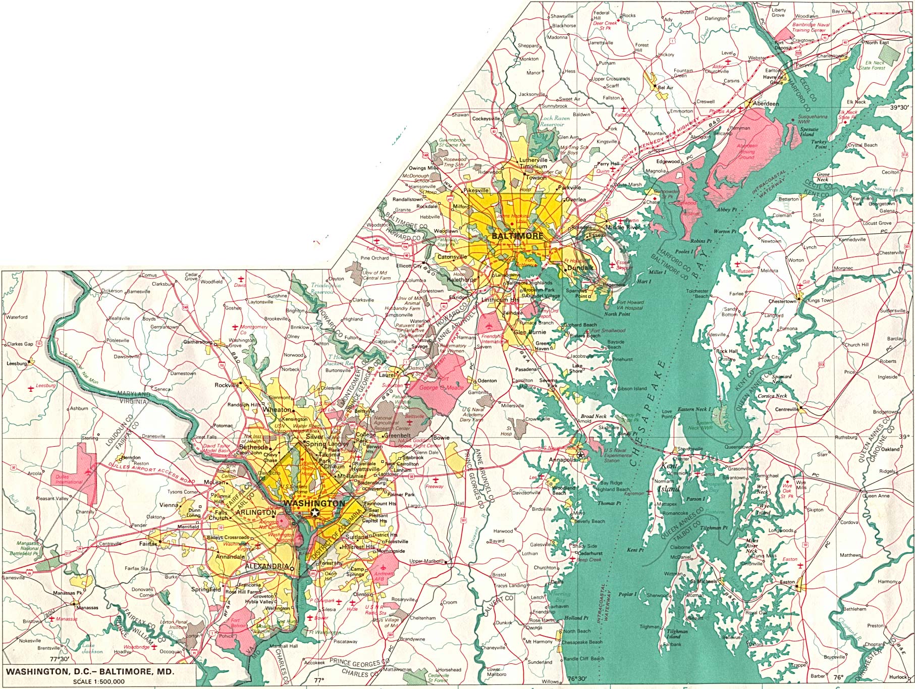
A map of Kent Island from 1970
|
| Source |
This image was cropped from a 1970 map of the Baltimore-Washington Metropolitan Area found at http://www.lib.utexas.edu/maps/world_cities/washington_baltimore.jpg At http://www.lib.utexas.edu/usage_statement.html?maps=yes the website says "most of the maps in the PCL Map Collection" are in the public domain and this particular map is in the PCL collection indexed at http://www.lib.utexas.edu/maps/world_cities.html where it says "The following maps were produced by U.S. Government agencies as noted" and it notes "U.S. National Atlas, 1970" for this particular map. The atlas was published by USGS, a US government agency. |
| Author | |
|
Permission
( Reusing this file ) |
The source image is in the public domain. |
Licensing
|
|
This image is in the
public domain
in the United States because it only contains materials that originally came from the
United States Geological Survey
, an agency of the
United States Department of the Interior
. For more information, see
the official USGS copyright policy
.
|
|
Original upload log
The original description page was
here
. All following user names refer to en.wikipedia.
| Date/Time | Dimensions | User | Comment |
|---|---|---|---|
| 2005-07-14 04:29:04 | 198 × 303 | Jeff02 | {{PD}} This image was cropped from a 1970 map of the [[Baltimore-Washington Metropolitan Area]] found at http://www.lib.utexas.edu/maps/world_cities/washington_baltimore.jpg The source image is in the public domain. |