Kara_seaIT.PNG
No higher resolution available.
Summary
| Description |
Беларуская:
Астравы Весцяў ЦВК.
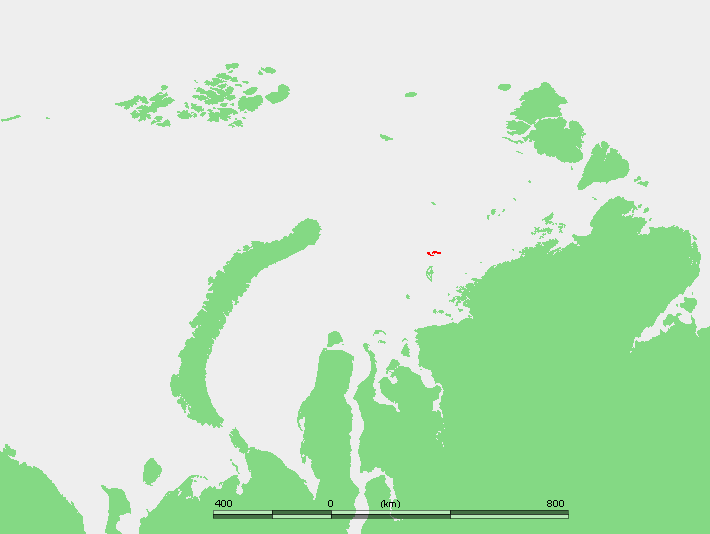
English:
Location of the Izvestiy Tsik Islands in the Kara Sea.
Français :
Localisation des Îles Izvesti TSIK dans la Mer de Kara.
Bahasa Indonesia:
Lokasi Kepulauan Izvestiy Tsik di Laut Kara.
Norsk nynorsk:
Plasseringa til Izvestij TSIK-øyane i Karahavet.
Polski:
Położenie na mapie Rosji.
Русский:
Положение Острова Известий ЦИК в Карском море.
|
| Date | 4 November 2007 (original upload date) |
| Source | own work based on PD map |
| Author | edited by M.Minderhoud |
Licensing
|
|
This image is in the
public domain
because it came from the site
https://www.demis.nl/products/web-map-server/examples/
and was released by the
copyright
holder. Permission is granted to copy, distribute and/or modify this map since it is based on free of copyright images from:
www.demis.nl
. See also
approval email on de.wp
and
its clarification
.
|
|
|
This work has been released into the
public domain
by its
copyright
holder,
www.demis.nl
. This applies worldwide.
In some countries this may not be legally possible; if so: www.demis.nl grants anyone the right to use this work for any purpose , without any conditions, unless such conditions are required by law.
|
Original upload log
Transferred from en.wikipedia to Commons by Amdf .
The original description page was
here
. All following user names refer to en.wikipedia.
- 2007-11-04 10:17 Mohonu 710×534×8 (18620 bytes) This image is in the public domain because came from the site http://www.demis.nl/wms/mapclip.htm and was released by the copyright holder. Permission is granted to copy, distribute and/or modify this map since it is based on free of copyright images from