Kapoho_Bay_lava_20180604.jpg
Size of this preview:
800 × 450 pixels
.
Other resolutions:
320 × 180 pixels
|
640 × 360 pixels
|
1,024 × 576 pixels
|
1,280 × 720 pixels
|
3,412 × 1,920 pixels
.
Summary
| Description |
English:
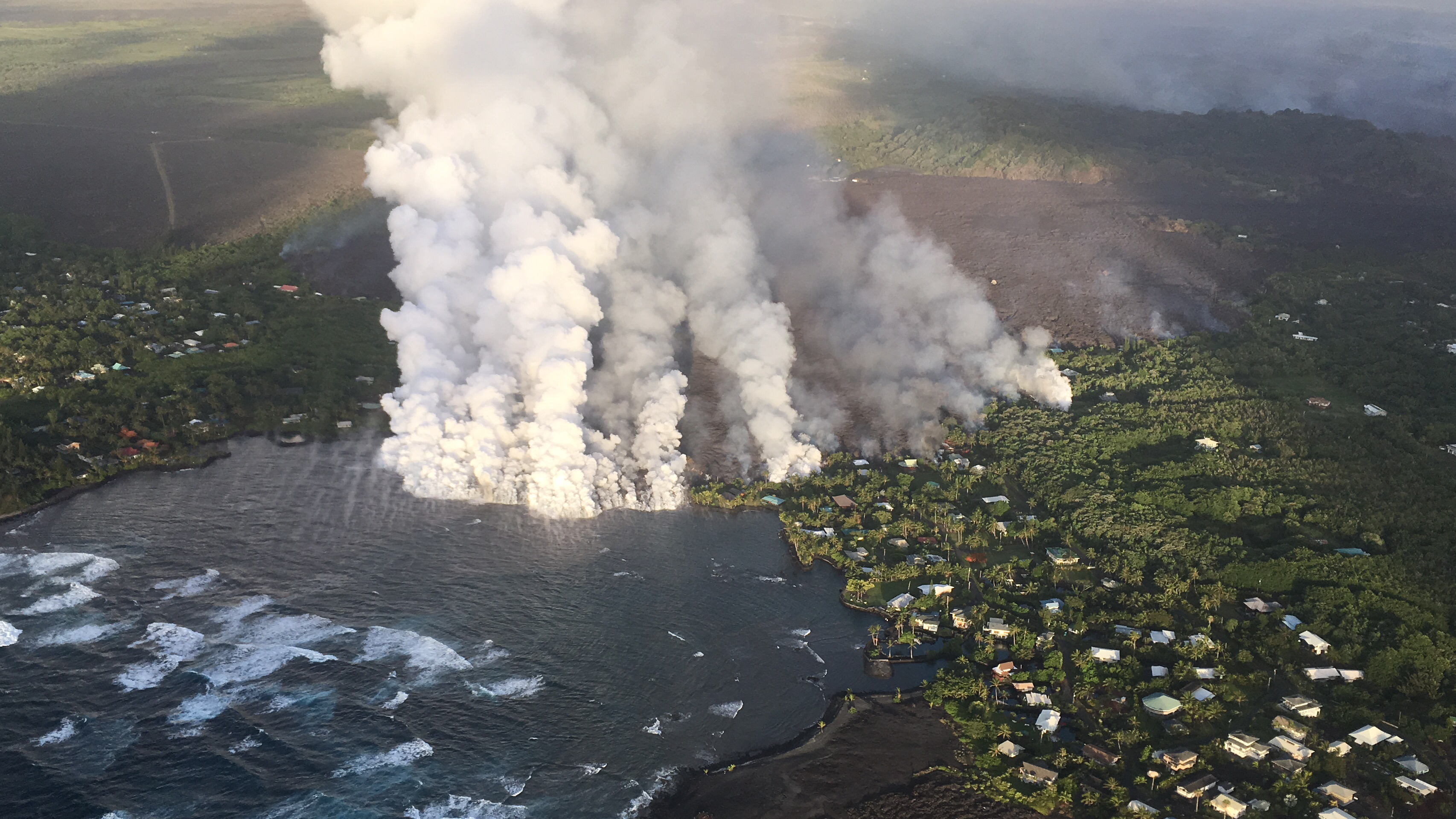
On June 4, 2018, a channel of lava from a fissure ten miles inland cut through the homes of Kapoho Beach Lots and Vacationland, and began to fill in the tide pools of Kapoho Bay.
|
| Date | |
| Source | https://volcanoes.usgs.gov/volcanoes/kilauea/multimedia_chronology.html (USGS-HVO) |
| Author | US Geological Survey |
Licensing
|
|
This image is in the
public domain
in the United States because it only contains materials that originally came from the
United States Geological Survey
, an agency of the
United States Department of the Interior
. For more information, see
the official USGS copyright policy
.
|
|