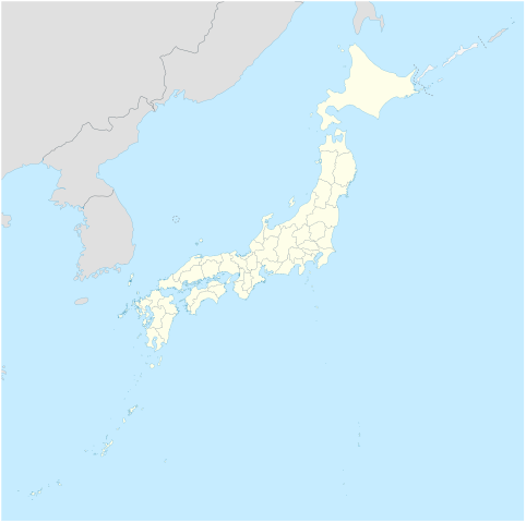
Japan_location_map.svg

Size of this PNG preview of this SVG file:
582 × 580 pixels
.
Other resolutions:
241 × 240 pixels
|
482 × 480 pixels
|
771 × 768 pixels
|
1,028 × 1,024 pixels
|
2,055 × 2,048 pixels
.
Summary
| Description |
Deutsch:
Postionskarte von
Japan
Quadratische Plattkarte. Geographische Begrenzung der Karte:
English:
Location map of
Japan
Equirectangular projection. Geographic limits of the map:
|
||
| Date | |||
| Source | own work, using Image:Japan_admin_levels.svg | ||
| Author | Maximilian Dörrbecker ( Chumwa ) | ||
|
Permission
( Reusing this file ) |
I, the copyright holder of this work, hereby publish it under the following licenses:
This file is licensed under the
Creative Commons
Attribution-Share Alike 3.0 Unported
license.
You may select the license of your choice.
|
||
| Other versions |
Derivative works of this file: National Treasures of Japan (archaeological materials).png
|


.png)

|
This map has been made or improved in the German
Kartenwerkstatt
(Map Lab)
. You can
propose maps
to improve as well.
|