Irish_Sea_satellite_image.jpg
No higher resolution available.
Summary
| Description |
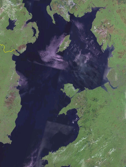
English:
Satellite image of the
Irish Sea
from the NASA Blue Marble project.
Español:
Mapa del
Mar de Irlanda
en el proyecto Blue Marble de la NASA.
|
| Date | 15 June 2012, 19:49 (UTC) (upload date) |
| Source |
This file was derived from:
Irish Sea 4.82844W 53.54821N.png
:
|
| Author |
|
|
|
This is a
retouched picture
, which means that it has been digitally altered from its original version. Modifications:
Cropped
. The original can be viewed here:
Irish Sea 4.82844W 53.54821N.png
:
|
Licensing
|
|
This image is in the
public domain
because it is a screenshot from
NASA
’s globe software
World Wind
using a public domain layer, such as Blue Marble, MODIS, Landsat, SRTM, USGS or GLOBE.
|

|
Original upload log
This image is a derivative work of the following images:
-
File:Irish_Sea_4.82844W_53.54821N.png
licensed with PD-WorldWind
- 2005-05-20T19:09:05Z Jelte 992x653 (934277 Bytes) NASA [[World-Wind]] screenshot. {{PD-USGov-NASA}}
Uploaded with derivativeFX