Ireland.svg

Size of this PNG preview of this SVG file:
471 × 599 pixels
.
Other resolutions:
188 × 240 pixels
|
377 × 480 pixels
|
603 × 768 pixels
|
804 × 1,024 pixels
|
1,609 × 2,048 pixels
|
2,200 × 2,800 pixels
.
Summary
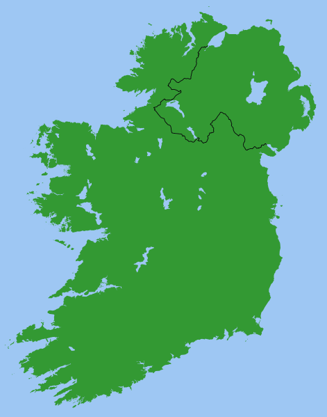
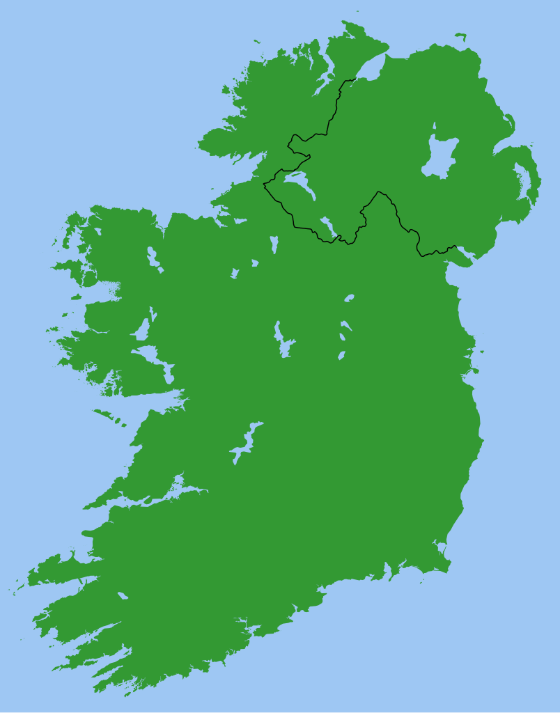
Map of Ireland, with North-South boundary delimited.
SVG should be fairly easy to alter or expand. For example the following can all be achieved with one-line CSS changes:
- You can toggle the Northern Ireland border on/off or change its thickness
- You can change any of the colours
- You can draw a border around all the land to make it more distinct from the sea
- You can hide Northern Ireland or the Republic of Ireland.
You can also do any of the following just by changing or adding/removing a few lines of SVG code:
- Zoom in on Northern Ireland, the Munster shoreline, or any other area
- Remove all the small islands (e.g. for faster rendering)
- Add drop shadows (feGaussianBlur), textured ground (feTurbulance) or topography (feDisplacementMap + feSpecularLighting)
- Add cities and towns.
- Add rivers. Anyone care to do this?
Originally derived from Image:Lough-Neagh.svg .
Licensing
|
|
I, the copyright holder of this work, release this work into the
public domain
. This applies worldwide.
In some countries this may not be legally possible; if so: I grant anyone the right to use this work for any purpose , without any conditions, unless such conditions are required by law. |
s]]