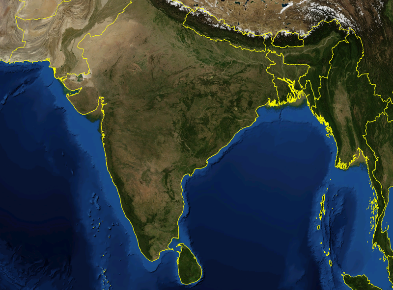
India_satellite_image.png

Size of this preview:
800 × 592 pixels
.
Other resolutions:
320 × 237 pixels
|
640 × 474 pixels
|
1,024 × 758 pixels
|
1,278 × 946 pixels
.
| Description | Satellite image of India and surrounding regions | |||
| Date | ||||
| Source | Own work | |||
| Author | Mgiganteus | |||
|
Permission
( Reusing this file ) |
|

| Annotations | This image is annotated: View the annotations at Commons |