IL-03_congressional_district.gif
No higher resolution available.
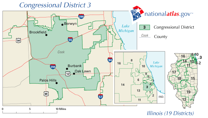
Map for Illinois's 3rd congressional district.
Source: http://nationalatlas.gov/printable/images/preview/congdist/il03_109.gif
|
|
This map was obtained from an edition of the
National Atlas of the United States
. Like almost all works of the U.S. federal government, works from the
National Atlas
are in the
public domain
in the United States.
Online access: NationalAtlas.gov | 1970 print edition: Library of Congress , Perry-Castañeda Library
|
|