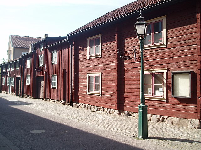
Hunnebergsgatan_i_Linköping.JPG

Size of this preview:
800 × 600 pixels
.
Other resolutions:
320 × 240 pixels
|
640 × 480 pixels
|
1,024 × 768 pixels
|
1,280 × 960 pixels
|
2,272 × 1,704 pixels
.
Summary
| Description |
Svenska:
Hunnebergsgatan 5, 7 och 9 hör till
Linköpings
äldre trähusbebyggelse och vittnar om hur det såg ut innan staden brandhärjades.
|
| Date | |
| Source | Own work |
| Author | Fotografiet taget under Kruosios och sv:Mannen av börds sightseeing i Linköping 2006-06-09. Någon av dessa är upphovsman, och tillåter frianvändning av bilden. |
| Camera location |
|
View this and other nearby images on: OpenStreetMap |
|
|---|
Licensing

|
The
copyright holder
of this work allows anyone to use it
for any purpose
including unrestricted redistribution, commercial use, and modification.
Usage notes:
|