Historische_Karte_CH_18_Jh.png
Size of this preview:
800 × 583 pixels
.
Other resolutions:
320 × 233 pixels
|
640 × 467 pixels
|
1,024 × 746 pixels
|
1,280 × 933 pixels
|
2,560 × 1,866 pixels
|
3,000 × 2,187 pixels
.
Summary
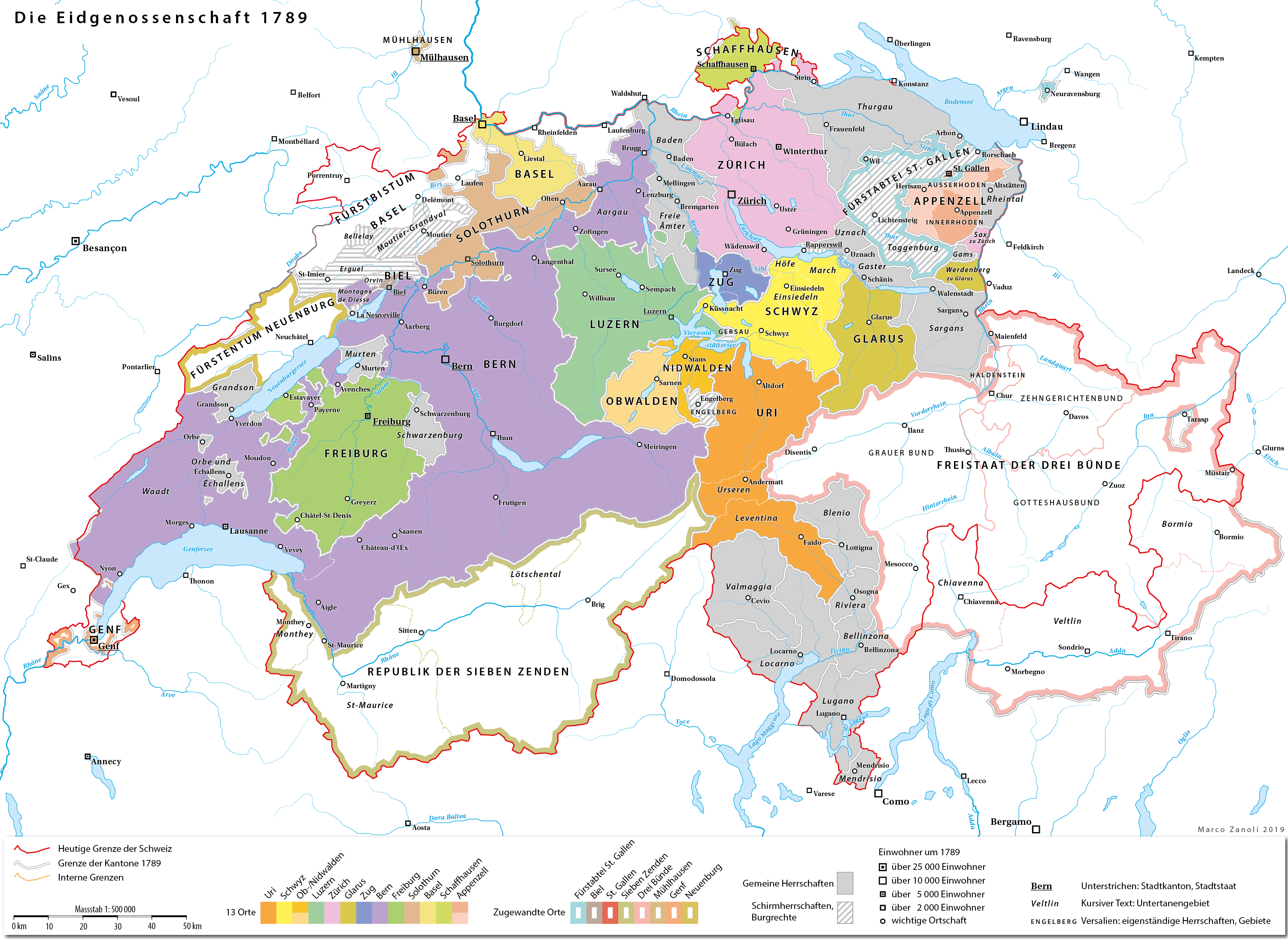
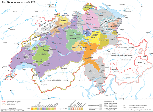
| Description | Die Alte Eidgenossenschaft 1789 |
| Date | |
| Source |
Own work based on:
|
| Author | Marco Zanoli ( sidonius ) |
Licensing
|
You may use my work outside wikipedia for free as long as you name me as the author. If you would like to use my work in a print medium, please send me a specimen copy.
Contact me if you have questions regarding the license or if you want individual changes to the map (marco.zanoli at hotmail.ch).
This file is licensed under the
Creative Commons
Attribution-Share Alike 4.0 International
license.
Attribution:
Marco Zanoli
|