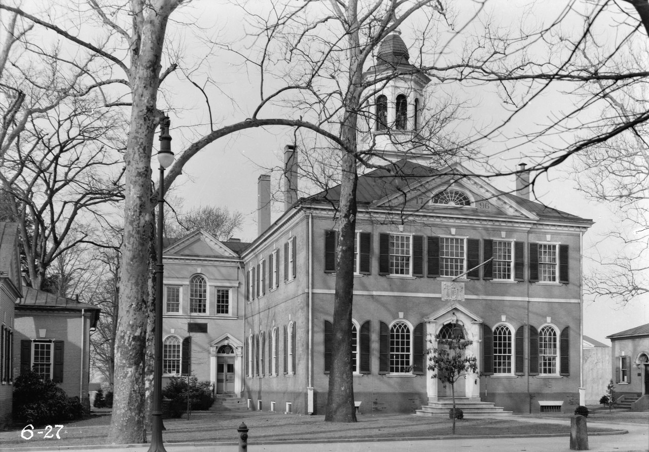
Historic_American_Buildings_Survey_Nathaniel_R._Ewan,_Photographer_March_15,_1936_SOUTHEAST_ELEVATION_-_Burlington_County_Courthouse,_High_Street,_Mount_Holly,_Burlington_County,_HABS_NJ,3-MOUHO,1-1.tif

Size of this JPG preview of this TIF file:
800 × 558 pixels
.
Other resolutions:
320 × 223 pixels
|
640 × 446 pixels
|
1,024 × 714 pixels
|
1,280 × 893 pixels
|
2,560 × 1,785 pixels
|
4,609 × 3,214 pixels
.
Summary
| Historic American Buildings Survey Nathaniel R. Ewan, Photographer March 15, 1936 SOUTHEAST ELEVATION - Burlington County Courthouse, High Street, Mount Holly, Burlington County, NJ | ||||
|---|---|---|---|---|
| Title |
Historic American Buildings Survey Nathaniel R. Ewan, Photographer March 15, 1936 SOUTHEAST ELEVATION - Burlington County Courthouse, High Street, Mount Holly, Burlington County, NJ
|
|||
| Depicted place | New Jersey; Burlington County; Mount Holly | |||
| Dimensions | 5 x 7 in. | |||
| Current location |
Library of Congress Prints and Photographs Division Washington, D.C. 20540 USA
http://hdl.loc.gov/loc.pnp/pp.print
|
|||
| Accession number |
HABS NJ,3-MOUHO,1-1
|
|||
| Credit line |
|
|||
| Source | https://www.loc.gov/pictures/item/nj0353.photos.111245p | |||
|
Permission
( Reusing this file ) |
|
|||
