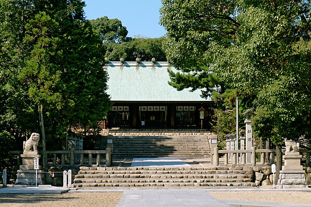
Hirota-jinja_Nishinomiya04s.jpg

Size of this preview:
800 × 533 pixels
.
Other resolutions:
320 × 213 pixels
|
640 × 427 pixels
|
1,024 × 683 pixels
|
1,280 × 853 pixels
|
2,560 × 1,707 pixels
|
3,900 × 2,600 pixels
.
Summary
| Description | |
| Date | |
| Source | Own work |
| Author | 663highland |
| Camera Model | Sony DSLR-A700 |
|---|---|
| Lens | Sony SAL16105 |
| Camera location |
|
View this and other nearby images on: OpenStreetMap |
|
|---|
Licensing
I, the copyright holder of this work, hereby publish it under the following licenses:

|
Permission is granted to copy, distribute and/or modify this document under the terms of the GNU Free Documentation License , Version 1.2 or any later version published by the Free Software Foundation ; with no Invariant Sections, no Front-Cover Texts, and no Back-Cover Texts. A copy of the license is included in the section entitled GNU Free Documentation License . |
This file is licensed under the
Creative Commons
Attribution-Share Alike 4.0 International
license.
Attribution:
Photo by
663highland
-
You are free:
- to share – to copy, distribute and transmit the work
- to remix – to adapt the work
-
Under the following conditions:
- attribution – You must give appropriate credit, provide a link to the license, and indicate if changes were made. You may do so in any reasonable manner, but not in any way that suggests the licensor endorses you or your use.
- share alike – If you remix, transform, or build upon the material, you must distribute your contributions under the same or compatible license as the original.
|
|
Copyleft: This work of art is free; you can redistribute it and/or modify it according to terms of the Free Art License . You will find a specimen of this license on the Copyleft Attitude site as well as on other sites . |
You may select the license of your choice.