Higashikagawa_city_main_district_area_Aerial_photograph.2014.jpg
Size of this preview:
800 × 480 pixels
.
Other resolutions:
320 × 192 pixels
|
1,024 × 615 pixels
|
1,280 × 769 pixels
|
2,560 × 1,537 pixels
|
6,919 × 4,155 pixels
.
Summary
| Description |
日本語:
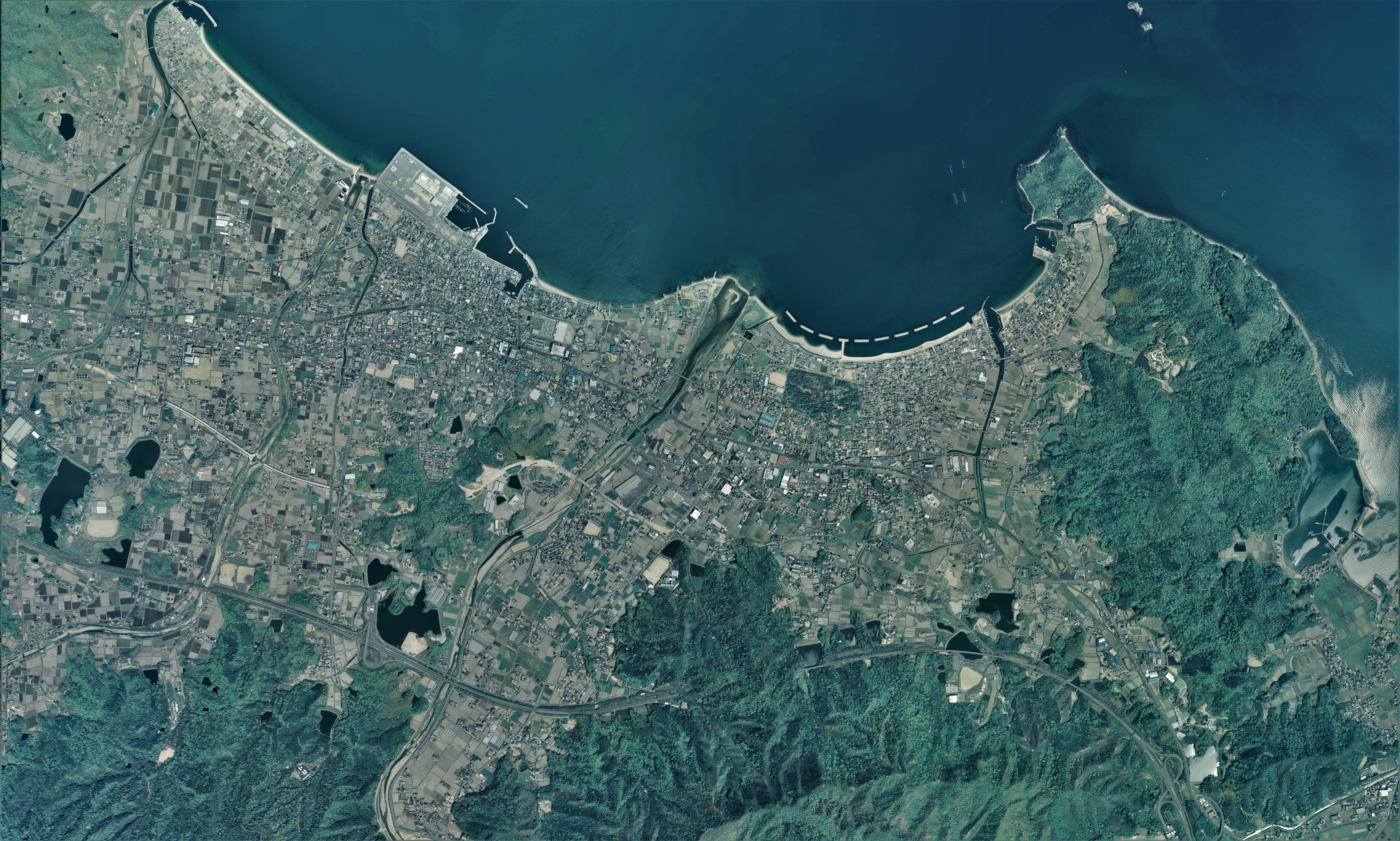
東かがわ市(香川県)主要地区の空中写真。CSI20141X-C3-3からCSI20141X-C3-5、CSI20141X-C4-3からCSI20141X-C4-5の合計6枚を合成作成。
English:
Higashikagawa city main district area Aerial photograph.2014
|
| Date | |
| Source | 国土情報ウェブマッピングシステム |
| Author | 国土地理院 |
Licensing

|
The copyright holder of this file, the Ministry of Land, Infrastructure, Transport and Tourism of Japan , allows anyone to use it for any purpose, provided that the copyright holder is properly attributed. Redistribution, derivative work, commercial use, and all other use is permitted. |
|
Attribution:
Copyright ©
National Land Image Information (Color Aerial Photographs)
, Ministry of Land, Infrastructure, Transport and Tourism
|

|
This image is copyrighted by
the Ministry of Land, Infrastructure, Transport and Tourism of Japan
. For terms of use, see
the stipulation to use of National Land Information
(in Japanese) and
message from MLIT
(in Japanese and English). When you display this image on an article, include the following phrase in the description: "
Made based on
National Land Image Information (Color Aerial Photographs)
, Ministry of Land, Infrastructure, Transport and Tourism
".
|