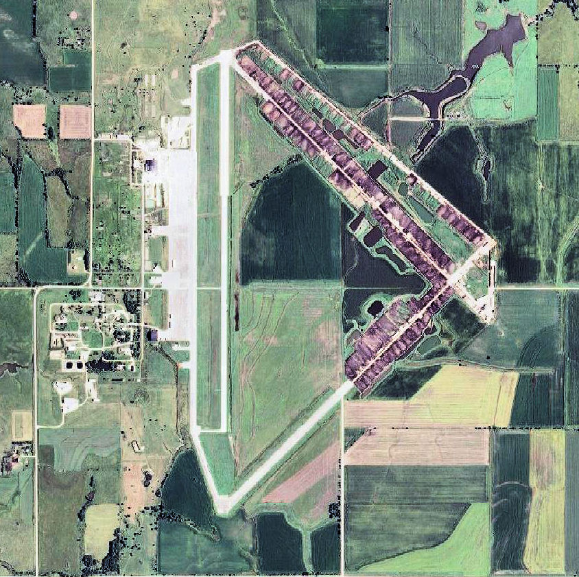
Herington_Regional_Airport_KS_2006_USGS.jpg
Size of this preview:
602 × 600 pixels
.
Other resolutions:
241 × 240 pixels
|
482 × 480 pixels
|
844 × 841 pixels
.
Summary
| Description |
English:
USGS digital
orthophoto
of
Herington Regional Airport
, formerly Herington Army Airfield, in Kansas
|
| Date | |
| Source |
USGS via GPS Visualizer website |
| Author | United States Geological Survey (USGS) |
|
Permission
( Reusing this file ) |
Public domain |
Licensing
|
|
This image is in the
public domain
in the United States because it only contains materials that originally came from the
United States Geological Survey
, an agency of the
United States Department of the Interior
. For more information, see
the official USGS copyright policy
.
|
|