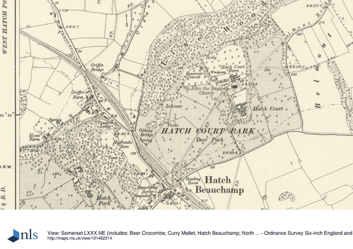
HatchBeauchamp_Somerset_1886_OS_SixInchToOneMile_Map.png

Size of this preview:
800 × 503 pixels
.
Other resolutions:
320 × 201 pixels
|
640 × 403 pixels
|
1,159 × 729 pixels
.
Summary
| Description |
English:
1886 Ordnance Survey map (6 inches to one mile) of Hatch Beauchamp, Somerset, England.
|
| Date | |
| Source | https://www.parksandgardens.org/assets/uploads/places/_1200xAUTO_fit_center-center_none/pgds_20160713-081827_hatchcourt19041.jpg |
| Author | Unknown Ordnance Survey cartographer |
Licensing
|
|
This work is in the public domain in its country of origin and other countries and areas where the copyright term is the author's life plus 100 years or fewer . |
| This file has been identified as being free of known restrictions under copyright law, including all related and neighboring rights. | |