Hamburg_Sturmflut_1962.png
Size of this preview:
800 × 418 pixels
.
Other resolutions:
320 × 167 pixels
|
640 × 335 pixels
|
1,024 × 535 pixels
|
1,280 × 669 pixels
|
2,560 × 1,338 pixels
|
5,349 × 2,796 pixels
.
Summary
| Description |
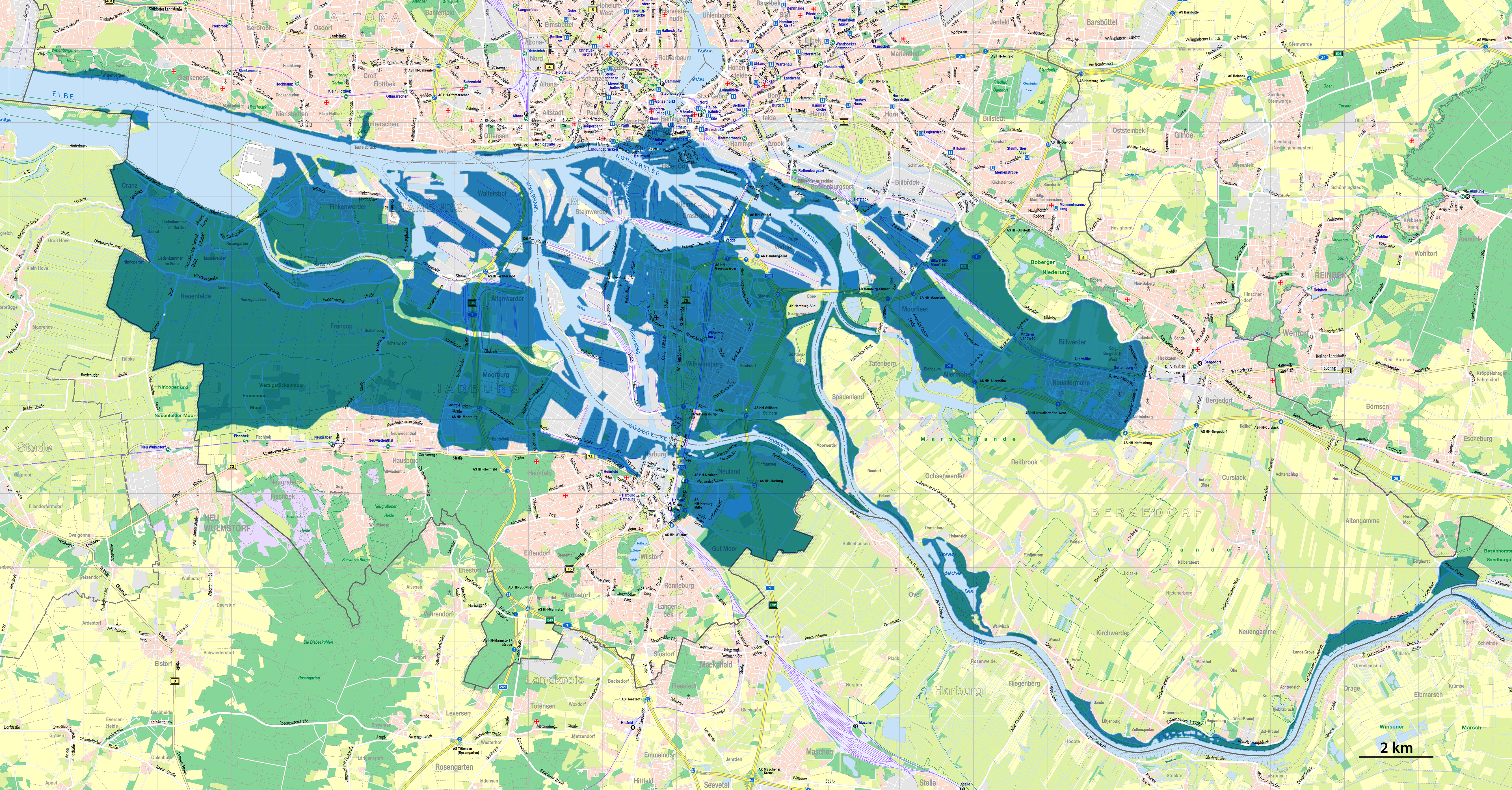
Deutsch:
Karte der Überflutungen in Hamburg während der Sturmflut 1962
English:
Map of the flooded areas of Hamburg during the North Sea flood of 1962
|
| Date | |
| Source |
Own work using:
|
| Author | NordNordWest |

|
This map has been made or improved in the German
Kartenwerkstatt
(Map Lab)
. You can
propose maps
to improve as well.
|
Licensing

|
This file is licensed under the terms of the Data licence Germany – attribution – version 2.0 |
|
You are free:
Under the following conditions:
|