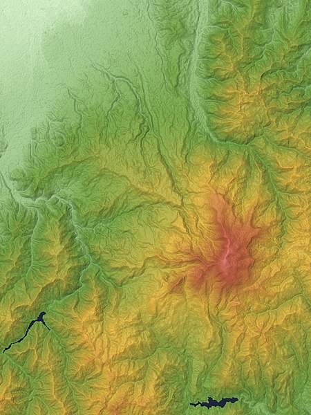
Gassan_Volcano_Relief_Map,_SRTM-1.jpg

Size of this preview:
450 × 600 pixels
.
Other resolutions:
180 × 240 pixels
|
360 × 480 pixels
|
576 × 768 pixels
|
1,200 × 1,600 pixels
.
Summary
| Description | |
| Date | |
| Source |
Topographic data:
NASA
's
SRTM
-1 30m Mesh (ver.3 2014)
|
| Author | Batholith |
| Object location |
|
View this and other nearby images on: OpenStreetMap |
|
|---|
Licensing
|
|
I, the copyright holder of this work, release this work into the
public domain
. This applies worldwide.
In some countries this may not be legally possible; if so: I grant anyone the right to use this work for any purpose , without any conditions, unless such conditions are required by law. |
|
|
This image uses high-resolution digital topography data from NASA's
Shuttle Radar Topography Mission (SRTM)
at JPL-Caltech
[1]
. It is in the
public domain
in the United States.
|

|