Funeral_program_for_church_bombings.jpg
Size of this preview:
414 × 600 pixels
.
Other resolutions:
165 × 240 pixels
|
331 × 480 pixels
|
530 × 768 pixels
|
706 × 1,024 pixels
|
1,721 × 2,494 pixels
.
Summary
| Description |
English:
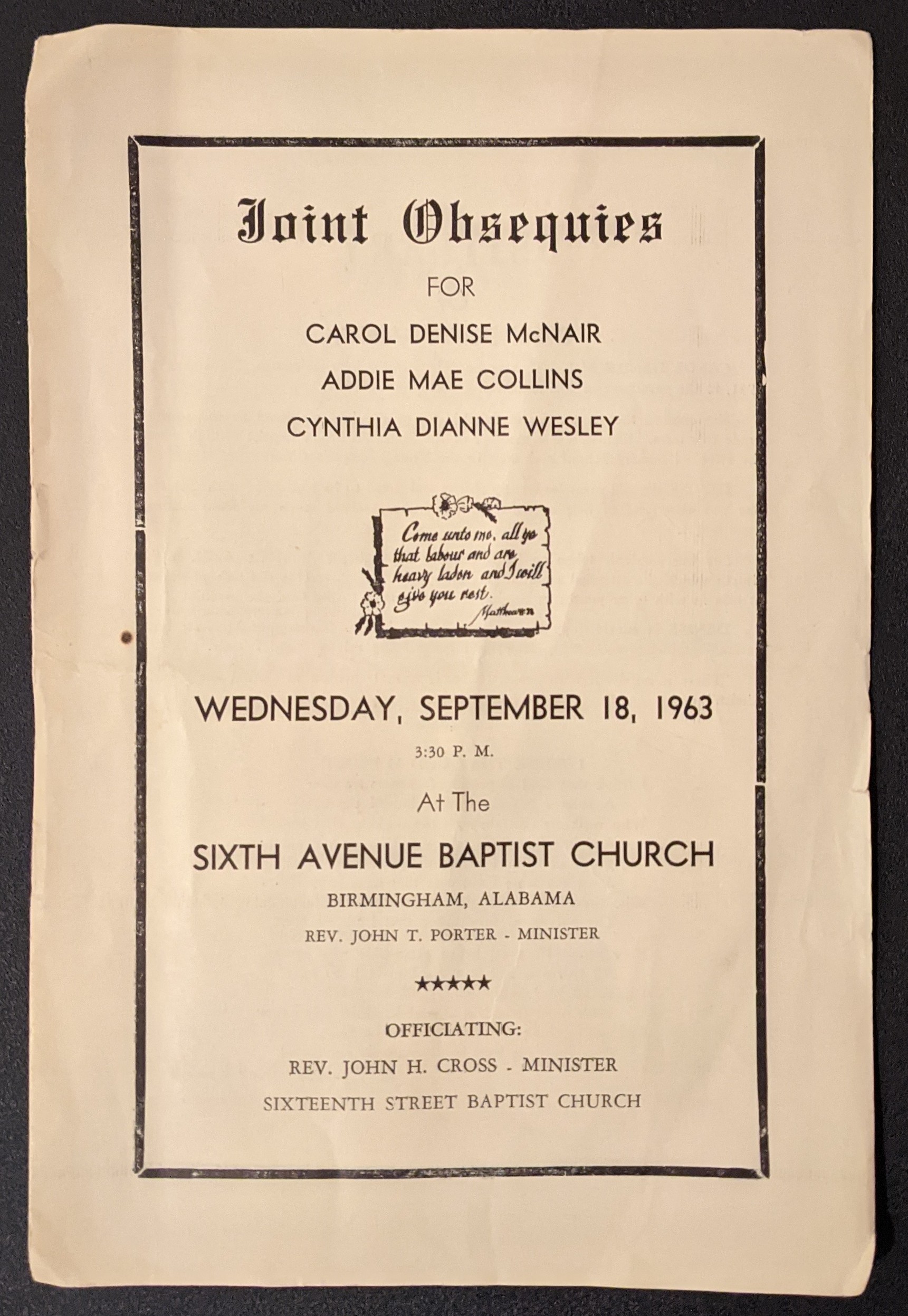
1963 funeral program for church bombings
|
| Date | |
| Source | Own work |
| Author | Anonymous |
| Camera location |
|
View this and other nearby images on: OpenStreetMap |
|
|---|
Licensing
|
|
This work is ineligible for copyright and therefore in the public domain because it consists entirely of information that is common property and contains no original authorship . |