Free-ranging_longhorn_cattle_at_Knepp_Wildland.jpg
Size of this preview:
800 × 535 pixels
.
Other resolutions:
320 × 214 pixels
|
640 × 428 pixels
|
1,024 × 685 pixels
|
1,280 × 856 pixels
|
2,560 × 1,712 pixels
|
5,081 × 3,397 pixels
.
Summary
| Description |
English:
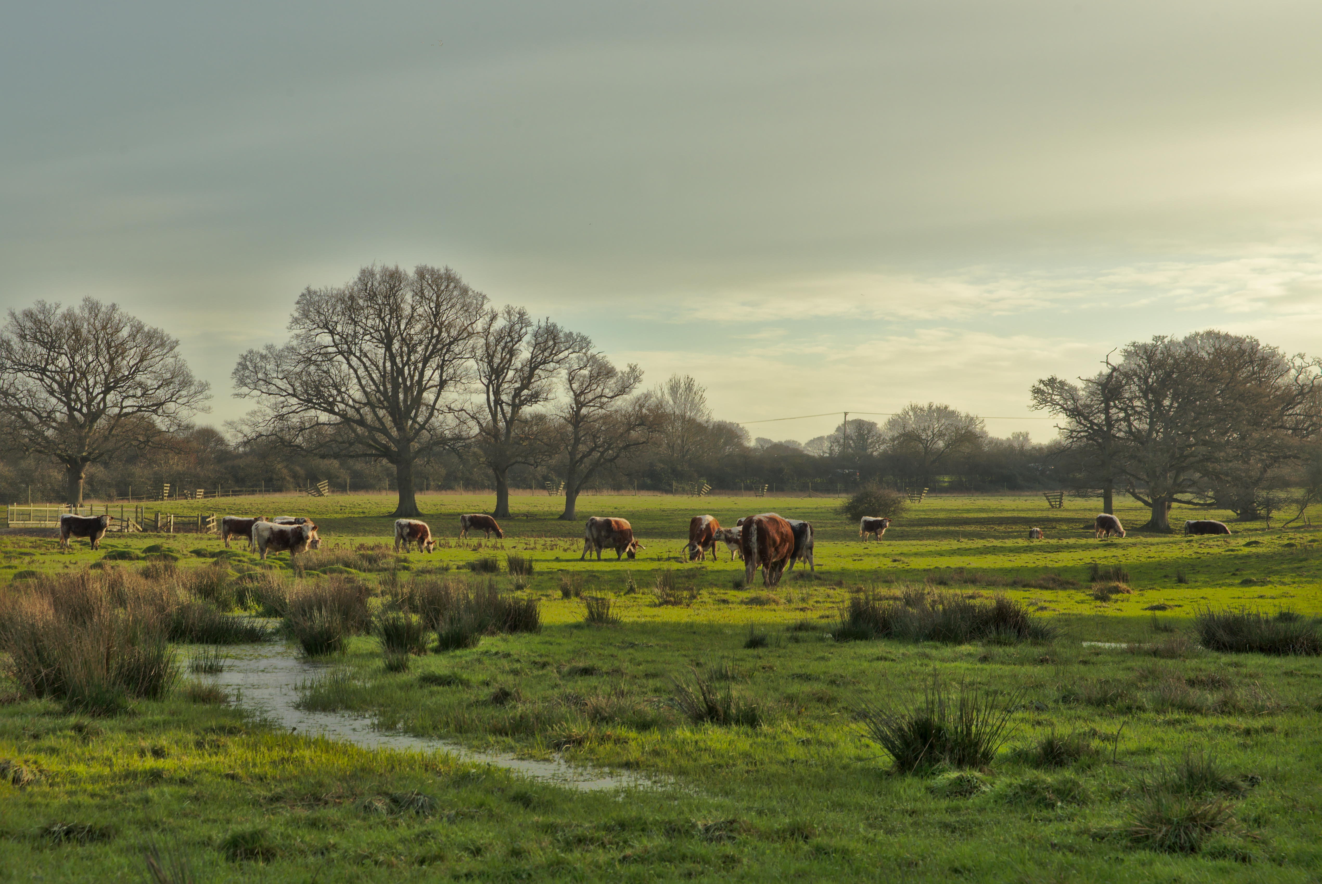
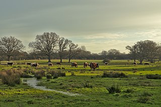
Free-ranging longhorn cattle at Knepp Wildland
|
| Date | |
| Source | https://www.flickr.com/photos/matt_ellery/24442849145/ |
| Author | Matt Ellery |
| Camera location |
|
View this and other nearby images on: OpenStreetMap |
|
|---|
Licensing
This file is licensed under the
Creative Commons
Attribution-Share Alike 2.0 Generic
license.
-
You are free:
- to share – to copy, distribute and transmit the work
- to remix – to adapt the work
-
Under the following conditions:
- attribution – You must give appropriate credit, provide a link to the license, and indicate if changes were made. You may do so in any reasonable manner, but not in any way that suggests the licensor endorses you or your use.
- share alike – If you remix, transform, or build upon the material, you must distribute your contributions under the same or compatible license as the original.
|
|
This image was originally posted to Flickr by Matt Ellery at https://flickr.com/photos/89567434@N02/24442849145 . It was reviewed on 28 December 2020 by FlickreviewR 2 and was confirmed to be licensed under the terms of the cc-by-sa-2.0. |