Frankfurt_Am_Main-St_Bartholomaeus-Ansicht_von_der_Untermainbruecke-20110328.jpg

Size of this preview:
400 × 600 pixels
.
Other resolutions:
160 × 240 pixels
|
320 × 480 pixels
|
512 × 768 pixels
|
682 × 1,024 pixels
|
1,365 × 2,048 pixels
|
3,000 × 4,500 pixels
.
Summary
| Description |
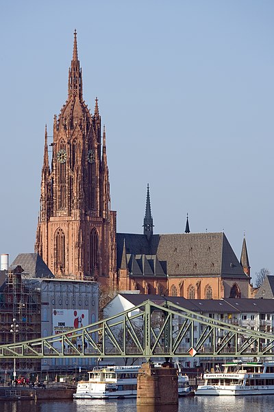
English:
Frankfurt on the Main:
Kaiserdom St. Bartholomäus
(Frankfurt Cathedral) as seen from the Untermainbrücke (Lower Main Bridge)
Deutsch:
Frankfurt am Main:
Kaiserdom St. Bartholomäus
, von der Untermainbrücke gesehen
|
| Date | |
| Source | Own work |
| Author | Mylius |
| Camera location |
|
View this and other nearby images on: OpenStreetMap |
|
|---|
Licensing
|
English:
I,
Roland Meinecke
(
Roland Meinecke
) am the creator of this work and I hereby publish it under the licences detailed below.
You may use this work free of charge under two conditions: Naming the image's author and inheritance of the chosen license. If you want to learn more details about the usage of this work, please visit my userpage .
Deutsch:
Ich,
Roland Meinecke
(
Roland Meinecke
) bin der Autor dieses Bildwerkes, und ich veröffentliche es hiermit unter den unten beschriebenen Lizenzen.
Sie dürfen dieses Bild unter folgenden Bedingungen kostenlos nutzen: Namensangabe des Bildautors und Weitervererbung der gewählten Lizenz. Bitte schauen Sie auf meine Benutzerseite , wenn Sie Einzelheiten über die Nutzung dieses Bildwerkes erfahren wollen. |
||||||||||
|
